Canada · Volcanic field
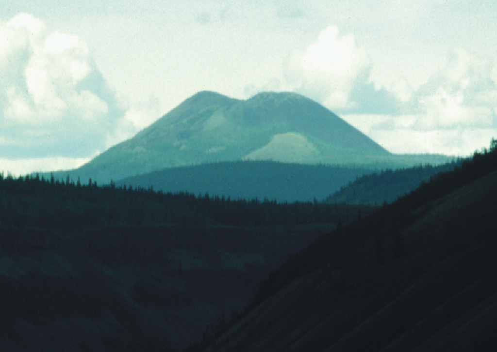
Fort Selkirk volcanic field
Fort Selkirk
- Type
- Volcanic field
- Elevation
- 1239m
- Last eruption
- Unknown
- Type
- Volcanic field
- Country
- Canada
- Region
- North America / Northern Cordilleran Volcanic Province
- Elevation
- 1239m
- Coordinates
- 62.930, -137.380
- Last eruption
- Unknown
- Tectonic setting
- Intraplate / Continental crust (> 25 km)
- Landform
- Cluster
- Major rock type
- Trachybasalt / Tephrite basanite
Geological summary
The Fort Selkirk volcanic field near the junction of the Yukon and Pelly rivers in central Yukon is the northernmost Holocene volcanic field in Canada.
Excerpt from the Global Volcanism Program, Smithsonian Institution · Read the full summary on GVP →
From Wikipedia
The Fort Selkirk volcanic field is a monogenetic volcanic field in the Northern Cordilleran Volcanic Province, Yukon Territory, Canada. It is the northernmost Holocene age volcanic field in Canada, located close to the connection of the Yukon and Pelly rivers. The youngest eruptions within the field are unknown. However, the youngest volcano Volcano Mountain produced lava flows that appear to be only a few hundred years old.
Wikipedia · CC BY-SA · Read full article →
Eruption history
GlossaryDetailed timeline
No eruption records available.
Nearby volcanoes
External links
⚠ For reference only. Not for emergency response.