Mexico · Volcanic field
Zitácuaro-Valle de Bravo
Zitacuaro-Valle de Bravo
- Type
- Volcanic field
- Elevation
- 3500m
- Last eruption
- -3050
- Type
- Volcanic field
- Country
- Mexico
- Region
- Middle America & Caribbean / Trans-Mexican Volcanic Arc
- Elevation
- 3500m
- Coordinates
- 19.400, -100.250
- Last eruption
- -3050
- Tectonic setting
- Subduction zone / Continental crust (> 25 km)
- Landform
- Cluster
- Major rock type
- Dacite
Geological summary
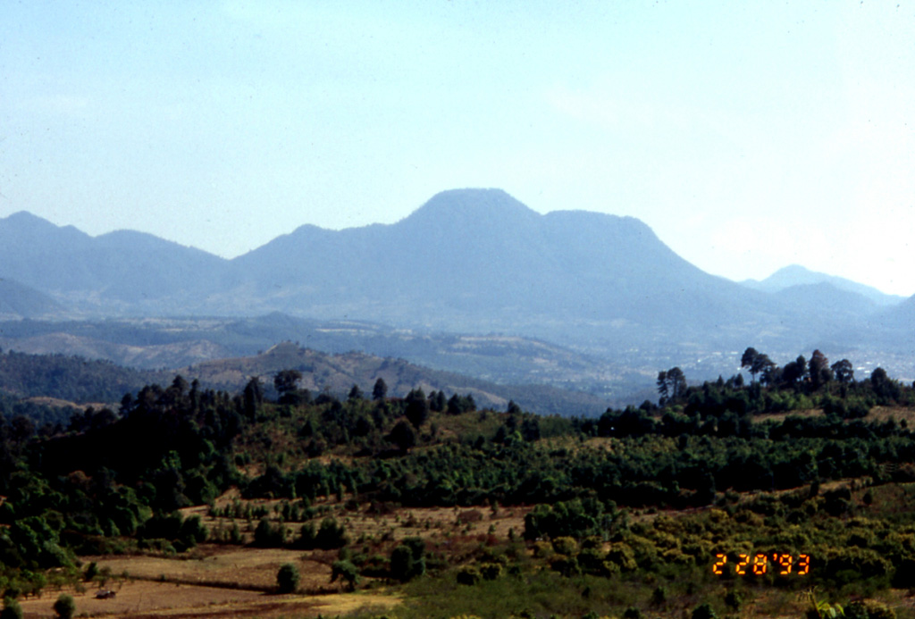
The Zitácuaro-Valle de Bravo volcanic field in the central part of the Trans-Mexican Volcanic Belt consists of a broad region of shield volcanoes, lava domes, and cinder cones surrounding the city of Heroica de Zitácuaro.
Excerpt from the Global Volcanism Program, Smithsonian Institution · Read the full summary on GVP →
Eruption history
1 recordedGlossaryRecord summary
- Confirmed eruptions
- 1
- Uncertain eruptions
- 0
- Span of confirmed record
- 3050 BCE (±2000 yrs) – 3050 BCE
- Largest confirmed eruption
- VEI 0 (3050 BCE)
- Confirmed eruptions since 1900
- 0
Summary (VEI over time)
Click a bar to see individual eruptions · Use arrow keys to move between bars, Enter to open
Detailed timeline
- 3050 BCE (±2000 yrs)VEI 0Geological estimate3050 BCE – end unknownWest of Valle de Bravo
Nearby volcanoes
External links
- Not yet on Wikipedia (English). You can contribute on Wikidata.
- Smithsonian GVP source page
⚠ For reference only. Not for emergency response.