Mexico · Volcanic field
Sierra Chichinautzin
Chichinautzin
- Type
- Volcanic field
- Elevation
- 3938m
- Last eruption
- 399
- Type
- Volcanic field
- Country
- Mexico
- Region
- Middle America & Caribbean / Trans-Mexican Volcanic Arc
- Elevation
- 3938m
- Coordinates
- 19.139, -99.160
- Last eruption
- 399
- Tectonic setting
- Subduction zone / Continental crust (> 25 km)
- Landform
- Cluster
- Major rock type
- Andesite / Basaltic andesite
Geological summary
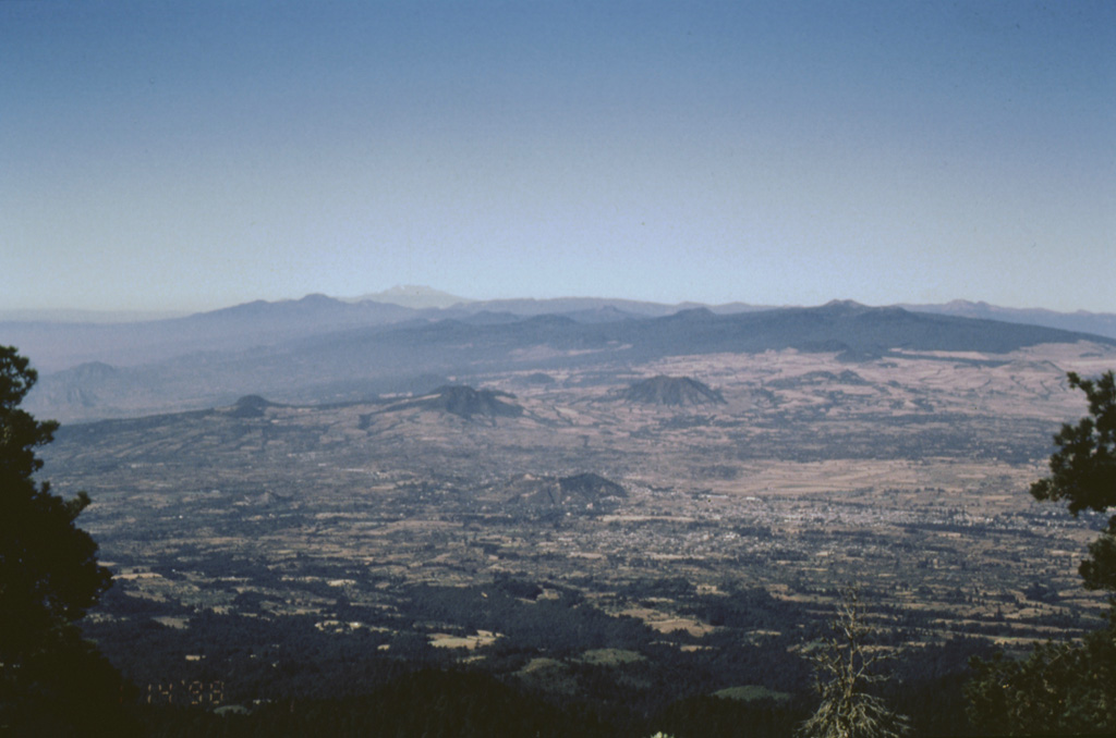
The massive Chichinautzin volcanic field extends over an 88 km E-W area immediately south of Mexico City.
Excerpt from the Global Volcanism Program, Smithsonian Institution · Read the full summary on GVP →
From Wikipedia
The Sierra Chichinautzin volcanic field, also known as El Pedegral, is located in the Trans-Mexican Volcanic Belt, approximately 350 kilometres (220 mi) from where the Cocos Plate subducts beneath the North American Plate.
Wikipedia · CC BY-SA · Read full article →
Eruption history
8 recordedGlossaryRecord summary
- Confirmed eruptions
- 8
- Uncertain eruptions
- 0
- Span of confirmed record
- 7930 BCE (±500 yrs) – 399
- Largest confirmed eruption
- VEI 4 (7370 BCE)
- Confirmed eruptions since 1900
- 0
Summary (VEI over time)
Click a bar to see individual eruptions · Use arrow keys to move between bars, Enter to open
Detailed timeline
- 399 (±149 yrs)VEI 3Geological estimate399 – end unknownXitle
- 203 (±131 yrs)VEI 3Geological estimate203 – end unknownChichinautzin
- 2238 BCE (±1413 yrs)VEI 3Geological estimate2238 BCE – end unknownGuespalapa
- 4250 BCE (±75 yrs)VEI 3Geological estimate4250 BCE – end unknownTláloc
- 5840 BCE (±500 yrs)VEI ?Geological estimate5840 BCE – end unknownCuauhtzin
- 7340 BCE (±1050 yrs)VEI 0Geological estimate7340 BCE – end unknownCerro Tetepetl
- 7370 BCE (±300 yrs)VEI 4Geological estimate7370 BCE – end unknownTres Cruces
- 7930 BCE (±500 yrs)VEI 3Geological estimate7930 BCE – end unknownVolcán Pelado
Nearby volcanoes
External links
⚠ For reference only. Not for emergency response.