Papúa Nueva Guinea · Campo volcánico
Dawson Strait Group
- Tipo
- Campo volcánico
- Altitud
- 500 m
- Última erupción
- 1350
- Tipo
- Campo volcánico
- País
- Papúa Nueva Guinea
- Región
- Pacífico Suroccidental / Trobriand Volcanic Province
- Altitud
- 500 m
- Coordenadas
- -9.620, 150.880
- Última erupción
- 1350
- Contexto tectónico
- Zona de subducción / Corteza continental (> 25 km)
- Forma volcánica
- Grupo volcánico
- Roca principal
- Riolita
Resumen geológico
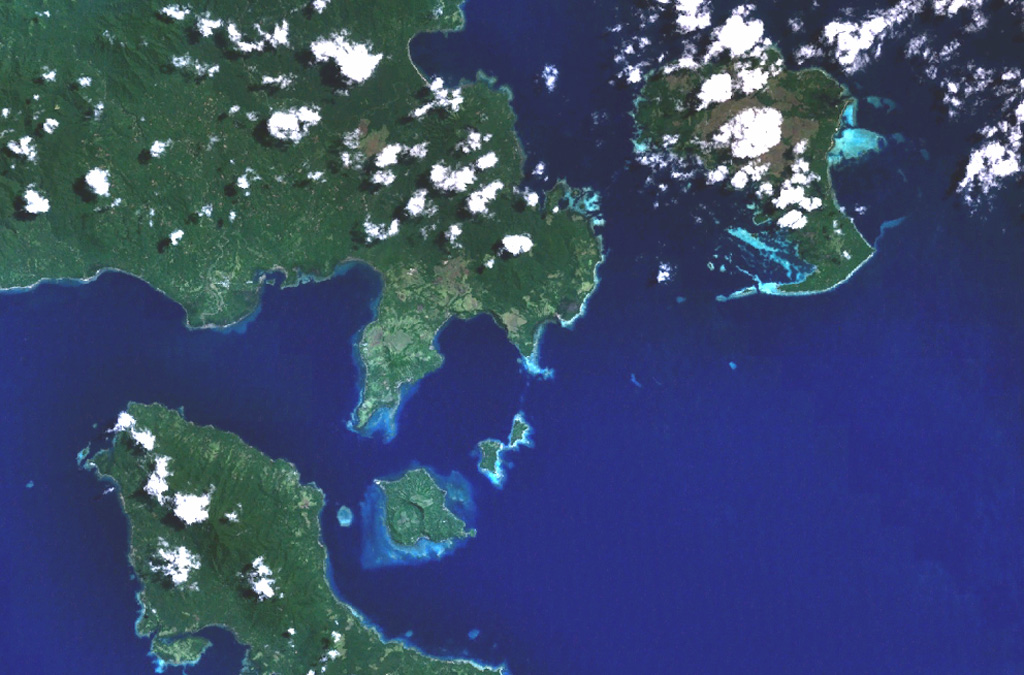
The Dawson Straits, located between eastern Fergusson and western Normanby Islands in the D'Entrecasteaux island group, contains a volcanic field with several centers that define a possible partly submerged caldera. There have been no historical eruptions, but morphology suggests an extremely young age for some lava flows, and the area displays vigorous thermal activity. The most prominent volcanic centers are Mounts Lamonai and Oiau, located about 10 km apart on the SW tip of Fergusson Island. The summit of Lamonai is capped by a steep-walled crater, and rhyolitic lava flows are exposed on the NE side of the cone. The dominantly volcaniclastic Oiau cone has also produced obsidian lava flows. Dobu Island to the south is formed of coalescing volcanic centers and likewise has produced youthful rhyolitic obsidian flows.
Historial de erupciones
1 registradasGlosarioLínea de tiempo detallada
- 1350VEI ?Estimación geológica1350 – fin desconocidoOiau
Volcanes cercanos
Enlaces externos
- Todavía no está en Wikipedia (Español). Puede contribuir en Wikidata.
- Página original del Smithsonian GVP
⚠ Solo como referencia. No apto para respuesta ante emergencias.