Rusia · Medan gunung api
Sedankinsky
Sedanka Lava Field
- Tipe
- Medan gunung api
- Ketinggian
- 1399 m
- Letusan terakhir
- -7050
- Tipe
- Medan gunung api
- Negara
- Rusia
- Wilayah
- Pasifik Barat Laut / Central Kamchatka Volcanic Arc
- Ketinggian
- 1399 m
- Koordinat
- 57.317, 160.067
- Letusan terakhir
- -7050
- Kondisi tektonik
- Zona subduksi / Kerak benua (> 25 km)
- Bentuk lahan
- Gugusan gunung api
- Batuan utama
- Basal / Pikrobasal
Ringkasan geologi
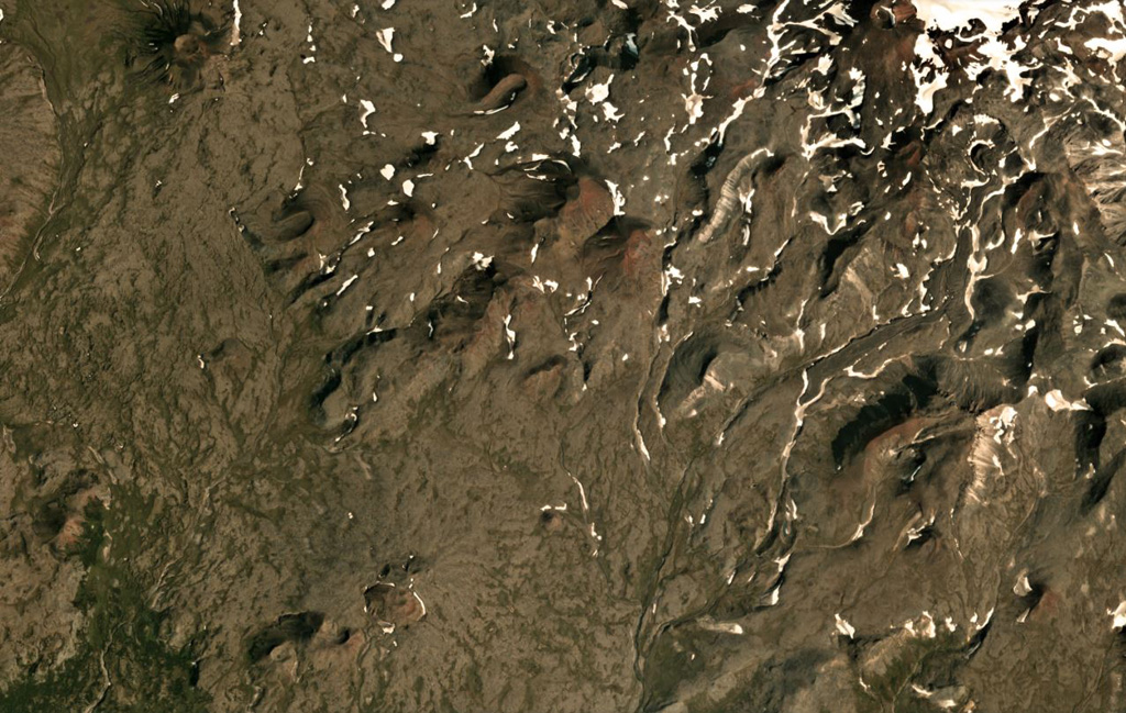
The Sedanka lava field (Sedanka Dol) is located immediately west of the Sredinny Range axis and is formed by dominantly mafic lavas from small strato- and shield-like volcanoes, along with more than 100 cinder and lava cones of the late Pleistocene-Holocene age. For this compilation the volcanic field area is considered to be up to 10 km wide and stretching about 25 km from south of Gorny Institute volcano towards the NNW between Tuzovsky volcano to the SW and Titila to the NE. Other workers (eg. Nekrylov et al., 2015) define the field to include the eight large edifices from Terpuk on the SW to Shishel on the NE.
Riwayat letusan
1 tercatatGlosariumRingkasan (VEI dari waktu ke waktu)
Klik pada bar untuk melihat letusan individu · Gunakan tombol panah untuk berpindah batang, Enter untuk membuka
Garis waktu rinci
- 7050 SM (±1000 tahun)VEI ?Perkiraan geologi7050 SM – akhir tidak diketahui
Gunung api terdekat
Tautan eksternal
- Belum ada di Wikipedia (Bahasa Indonesia). Anda dapat berkontribusi di Wikidata.
- Halaman asli Smithsonian GVP
⚠ Untuk referensi saja. Bukan untuk tanggap darurat.