Rusia · Stratovolkan
Gorny Institute
- Tipe
- Stratovolkan
- Ketinggian
- 2125 m
- Letusan terakhir
- 1250
- Tipe
- Stratovolkan
- Negara
- Rusia
- Wilayah
- Pasifik Barat Laut / Central Kamchatka Volcanic Arc
- Ketinggian
- 2125 m
- Koordinat
- 57.330, 160.200
- Letusan terakhir
- 1250
- Kondisi tektonik
- Zona subduksi / Kerak benua (> 25 km)
- Bentuk lahan
- Komposit
- Batuan utama
- Andesit / Andesit basaltik
Ringkasan geologi
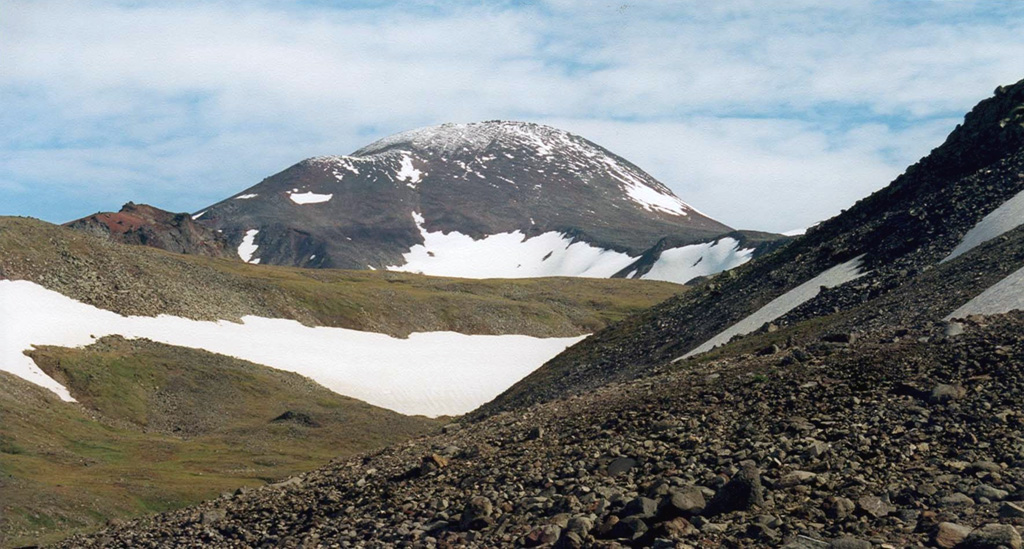
Gorny Institute volcano lies at the NE end of chain of small late-Quaternary volcanoes extending NE from Kebeney volcano in the central Sredinny Range. It was constructed near the steep-walled eastern margin of a major NE-SW-trending graben extending NE from Kebeney volcano. A line of cinder cones with the same orientation is located on the NE and SW flanks. More than 20 pyroclastic horizons have been documented, and the last major eruption took place about 700 years ago.
Ringkasan Wikipedia
Ringkasan InggrisGorny Institute, also spelled Gornyi Institut, is a stratovolcano located in the Sredinny Range on Russia's Kamchatka Peninsula. It lies just east of the Titila volcano and north of the Kebeney volcano.
Wikipedia · CC BY-SA · Baca artikel lengkap →
Riwayat letusan
3 tercatatGlosariumGaris waktu rinci
- 1250VEI ?Perkiraan geologi1250 – akhir tidak diketahui
- 1000VEI ?Perkiraan geologi1000 – akhir tidak diketahui
- 4250 SMVEI 0Perkiraan geologi4250 SM – akhir tidak diketahuiSouth flank (Sedanka lava flow)
Gunung api terdekat
Tautan eksternal
⚠ Untuk referensi saja. Bukan untuk tanggap darurat.