Amerika Serikat · Rekahan erupsi
North Gorda Ridge Segment
- Tipe
- Rekahan erupsi
- Ketinggian
- 3000 m (bawah laut)
- Letusan terakhir
- 1996
- Tipe
- Rekahan erupsi
- Negara
- Amerika Serikat
- Wilayah
- Pasifik Timur / Northeast Pacific Rifts Volcanic Province
- Ketinggian
- 3000 m (bawah laut)
- Koordinat
- 42.670, -126.780
- Letusan terakhir
- 1996
- Kondisi tektonik
- Zona rift / Kerak samudra (< 15 km)
- Bentuk lahan
- Gugusan gunung api
- Batuan utama
- Basal / Pikrobasal
Ringkasan geologi
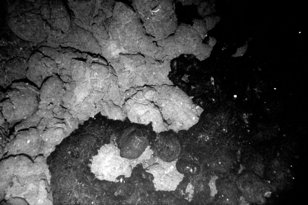
The northernmost of five segments of the Gorda Ridge lies immediately south of the Blanco Transform Fault that offsets the Gorda and Juan de Fuca oceanic spreading ridges. The 65-km-long segment is located about 200 km W of the southern Oregon coast and has deep 5- 10-km-wide valleys at either ends with a shallower narrow axial valley at the center. This morphology, which in plan view resembles an hourglass, is typical of magmatically active spreading segments. A submarine lava flow was erupted in late February and early March 1996, near the center of the segment. The eruption was initially detected through acoustic T-waves from a seismic swarm and the emission of large thermal plumes. In April submarine cameras revealed new lava flows about 100-200 m wide along a fissure that was at least 3.5 km long. A seismic swarm of uncertain origin also occurred at this location in January 1998.
Riwayat letusan
3 tercatatGlosariumGaris waktu rinci
- 1996VEI 0Teramati1996-02-28 – 1996-03-15Near center of North Gorda Ridge segment
- 3020 SMVEI 0Perkiraan geologi3020 SM – akhir tidak diketahui
- 4840 SMVEI 0Perkiraan geologi4840 SM – akhir tidak diketahui
Gunung api terdekat
Tautan eksternal
- Belum ada di Wikipedia (Bahasa Indonesia). Anda dapat berkontribusi di Wikidata.
- Halaman asli Smithsonian GVP
⚠ Untuk referensi saja. Bukan untuk tanggap darurat.