Fitur bawah laut · Rekahan erupsi
Cleft Segment
- Tipe
- Rekahan erupsi
- Ketinggian
- 2140 m (bawah laut)
- Letusan terakhir
- 1986
- Tipe
- Rekahan erupsi
- Negara
- Fitur bawah laut
- Wilayah
- Pasifik Timur / Northeast Pacific Rifts Volcanic Province
- Ketinggian
- 2140 m (bawah laut)
- Koordinat
- 44.830, -130.300
- Letusan terakhir
- 1986
- Kondisi tektonik
- Zona rift / Kerak samudra (< 15 km)
- Bentuk lahan
- Gugusan gunung api
- Batuan utama
- Basal / Pikrobasal
Ringkasan geologi
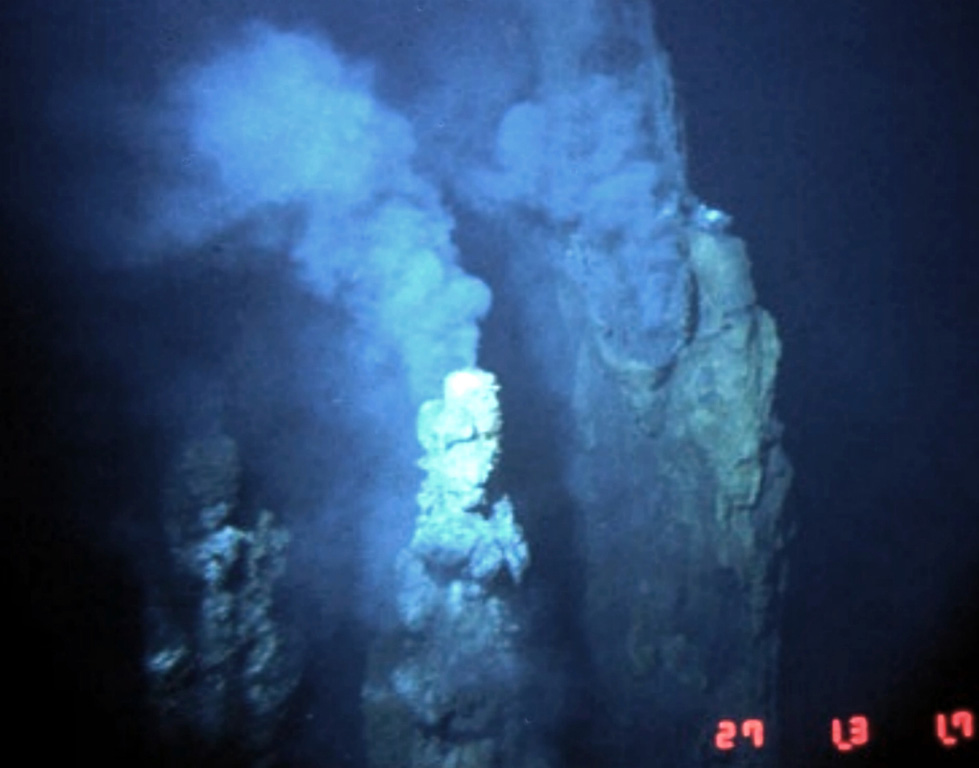
The Cleft Segment, the southernmost of the Juan de Fuca Ridge, lies immediately north of the Blanco Fracture Zone. The 80-km-long segment is named for a nearly continuous 10-km-long, 30-50 m wide cleft at its southern end. Two episodes of seafloor spreading were documented along the northern part of the segment in the 1980's. Bathymetric surveys indicated that a series of discontinuous pillow-lava mounds were extruded along a 17-km-long fissure between 1981 and 1987. The eruption possibly coincided with emission of a large plume of hot mineral-laden water in 1986. The location is at a depth of about 2,300 m near the northern edge of the Cleft segment and the southern end of the Vance segment of the Juan de Fuca Ridge, about 500 km W of the central Oregon coast. Youthful sheet-lava flows immediately south of the pillow lavas were estimated to be only a few years older.
Riwayat letusan
3 tercatatGlosariumGaris waktu rinci
- 1986VEI 0Teramati1986-08-16 – akhir tidak diketahuiN Cleft Segment, S Juan de Fuca Ridge
- 1982VEI 0Teramati1982-07-02 – akhir tidak diketahuiN Cleft Segment, S Juan de Fuca Ridge
- 270 SMVEI 0Perkiraan geologi270 SM – akhir tidak diketahuiS Cleft Segment, S Juan de Fuca Ridge
Gunung api terdekat
Tautan eksternal
- Belum ada di Wikipedia (Bahasa Indonesia). Anda dapat berkontribusi di Wikidata.
- Halaman asli Smithsonian GVP
⚠ Untuk referensi saja. Bukan untuk tanggap darurat.