Fitur bawah laut · Rekahan erupsi
Southern EPR-Segment K
Southern EPR at 17.5°S (Segment K)
- Tipe
- Rekahan erupsi
- Ketinggian
- 2566 m (bawah laut)
- Letusan terakhir
- 1990
- Tipe
- Rekahan erupsi
- Negara
- Fitur bawah laut
- Wilayah
- Pasifik Selatan / Southern East Pacific Rise Volcanic Province
- Ketinggian
- 2566 m (bawah laut)
- Koordinat
- -17.436, -113.206
- Letusan terakhir
- 1990
- Kondisi tektonik
- Zona rift / Kerak samudra (< 15 km)
- Bentuk lahan
- Gugusan gunung api
- Batuan utama
- Basal / Pikrobasal
Ringkasan geologi
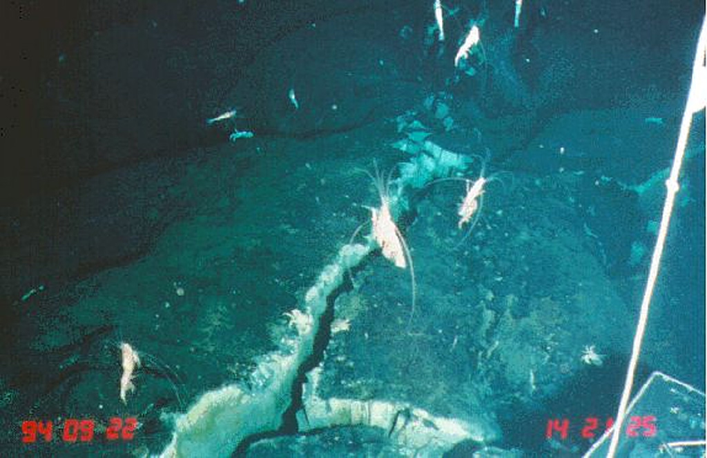
Teks asli bahasa InggrisLava flows from a very recent eruption were observed in 1994 along segment K of the southern East Pacific Rise.
Kutipan dari Global Volcanism Program, Smithsonian Institution · Baca ringkasan lengkap di GVP →
Riwayat letusan
5 tercatatGlosariumRingkasan catatan
- Letusan terkonfirmasi
- 5
- Letusan tidak pasti
- 0
- Rentang catatan terkonfirmasi
- 1625 – 1990
- Letusan terkonfirmasi terbesar
- VEI 0 (1990, yang terbaru dari 5)
- Letusan terkonfirmasi sejak 1900
- 3
Ringkasan (VEI dari waktu ke waktu)
Klik pada bar untuk melihat letusan individu · Gunakan tombol panah untuk berpindah batang, Enter untuk membuka
Garis waktu rinci
- 1990 (±2 tahun)VEI 0Teramati1990-07-02 – akhir tidak diketahui
- 1965VEI 0Perkiraan geologi1965-07-02 – akhir tidak diketahuiSouth of Aldo-Kihi lava flow
- 1930VEI 0Perkiraan geologi1930-07-02 – akhir tidak diketahuiNorth of Aldo-Kiri lava flow
- 1840VEI 0Perkiraan geologi1840-07-02 – akhir tidak diketahuiNorth of Aldo-Kiri lava flow
- 1625VEI 0Perkiraan geologi1625 – akhir tidak diketahuiSouth of Aldo-Kihi lava flow
Gunung api terdekat
Tautan eksternal
- Belum ada di Wikipedia (Bahasa Indonesia). Anda dapat berkontribusi di Wikidata.
- Halaman asli Smithsonian GVP
⚠ Untuk referensi saja. Bukan untuk tanggap darurat.