Fitur bawah laut · Rekahan erupsi
Southern EPR-Segment I
Southern EPR at 18.5°S (Segment I)
- Tipe
- Rekahan erupsi
- Ketinggian
- 2600 m (bawah laut)
- Letusan terakhir
- 1915
- Tipe
- Rekahan erupsi
- Negara
- Fitur bawah laut
- Wilayah
- Pasifik Selatan / Southern East Pacific Rise Volcanic Province
- Ketinggian
- 2600 m (bawah laut)
- Koordinat
- -18.530, -113.420
- Letusan terakhir
- 1915
- Kondisi tektonik
- Zona rift / Kerak samudra (< 15 km)
- Bentuk lahan
- Gugusan gunung api
- Batuan utama
- Basal / Pikrobasal
Ringkasan geologi
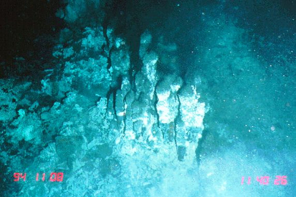
The narrow axial crest of Segment I of the Southern East Pacific Rise in some places is less than 50 m wide. An axial dome is located along the southern part of the segment. The largest lava flow field in this segment is the Animal Farm flow, named after a thriving low-temperature hydrothermal site discovered during a submersible expedition in 1993. The Animal Farm lava flow was dated by magnetic paleointensity measurements at about 1880-1950 CE, and older flows were dated by similar techniques to the 17th and 19th centuries.
Riwayat letusan
3 tercatatGlosariumRingkasan (VEI dari waktu ke waktu)
Klik pada bar untuk melihat letusan individu · Gunakan tombol panah untuk berpindah batang, Enter untuk membuka
Garis waktu rinci
- 1915 (±40 tahun)VEI 0Perkiraan geologi1915-07-02 – akhir tidak diketahui
- 1860VEI 0Perkiraan geologi1860-07-02 – akhir tidak diketahui
- 1620VEI 0Perkiraan geologi1620 – akhir tidak diketahui
Gunung api terdekat
- Southern EPR-Segment JRekahan erupsi · sejauh 40 km
- Southern EPR-Segment KRekahan erupsi · sejauh 124 km
- Pulau PaskahGunung api perisai · sejauh 1041 km
- Unnamed submarine volcanoRekahan erupsi · sejauh 1285 km
- Adams SeamountKubah lava · sejauh 1801 km
- Gunung laut MacdonaldGunung api perisai · sejauh 2958 km
Tautan eksternal
- Belum ada di Wikipedia (Bahasa Indonesia). Anda dapat berkontribusi di Wikidata.
- Halaman asli Smithsonian GVP
⚠ Untuk referensi saja. Bukan untuk tanggap darurat.