Fitur bawah laut · Rekahan erupsi
Southern EPR-Segment J
Southern EPR at 18.2°S (Segment J)
- Tipe
- Rekahan erupsi
- Ketinggian
- 2650 m (bawah laut)
- Letusan terakhir
- 1890
- Tipe
- Rekahan erupsi
- Negara
- Fitur bawah laut
- Wilayah
- Pasifik Selatan / Southern East Pacific Rise Volcanic Province
- Ketinggian
- 2650 m (bawah laut)
- Koordinat
- -18.175, -113.350
- Letusan terakhir
- 1890
- Kondisi tektonik
- Zona rift / Kerak samudra (< 15 km)
- Bentuk lahan
- Gugusan gunung api
- Batuan utama
- Basal / Pikrobasal
Ringkasan geologi
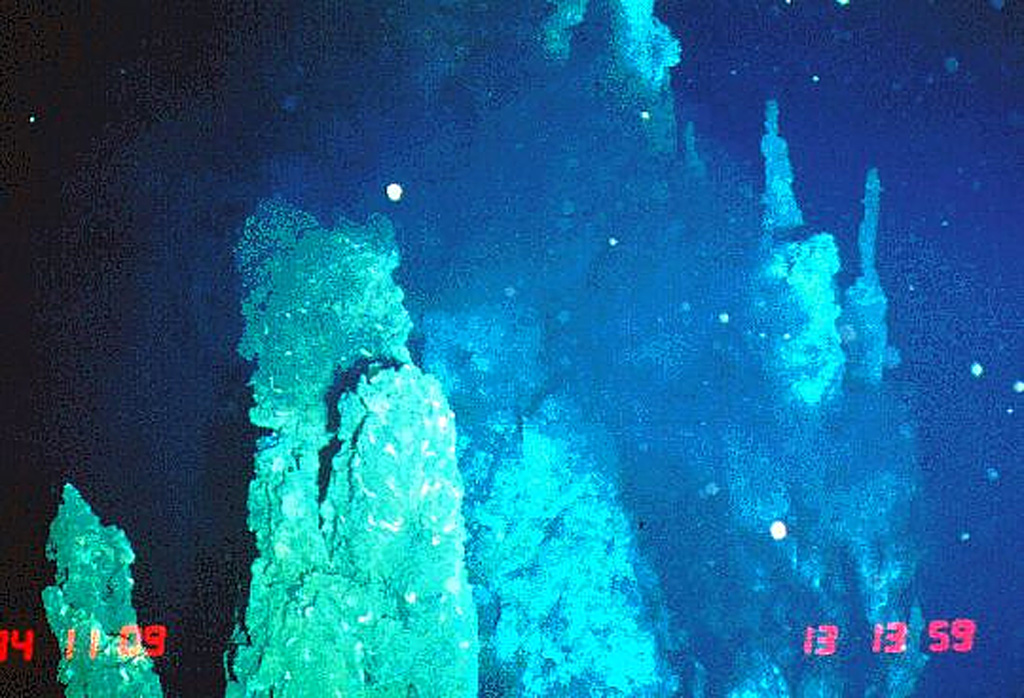
The axial crest of Segment J of the Southern East Pacific Rise consists of an asymmetrical shallow graben varying from 250 to 600 m wide with walls about 20 m high. Horst and graben structures expose cooled lava lakes and both active and extinct hydrothermal chimneys. Basaltic lava flow fields, lava pillars, and pillow mounds are found on the floor of the graben. The largest lava flow field is the Moai lava flow at about 18°12'S. Two lava flows have been dated by paleomagnetic evidence at about 1820 and 1890 CE.
Riwayat letusan
2 tercatatGlosariumRingkasan (VEI dari waktu ke waktu)
Klik pada bar untuk melihat letusan individu · Gunakan tombol panah untuk berpindah batang, Enter untuk membuka
Garis waktu rinci
- 1890VEI 0Perkiraan geologi1890-07-02 – akhir tidak diketahui
- 1820VEI 0Perkiraan geologi1820-07-02 – akhir tidak diketahui
Gunung api terdekat
- Southern EPR-Segment IRekahan erupsi · sejauh 40 km
- Southern EPR-Segment KRekahan erupsi · sejauh 84 km
- Pulau PaskahGunung api perisai · sejauh 1075 km
- Unnamed submarine volcanoRekahan erupsi · sejauh 1246 km
- Adams SeamountKubah lava · sejauh 1826 km
- Gunung laut MacdonaldGunung api perisai · sejauh 2984 km
Tautan eksternal
- Belum ada di Wikipedia (Bahasa Indonesia). Anda dapat berkontribusi di Wikidata.
- Halaman asli Smithsonian GVP
⚠ Untuk referensi saja. Bukan untuk tanggap darurat.