エリトリア · 成層火山
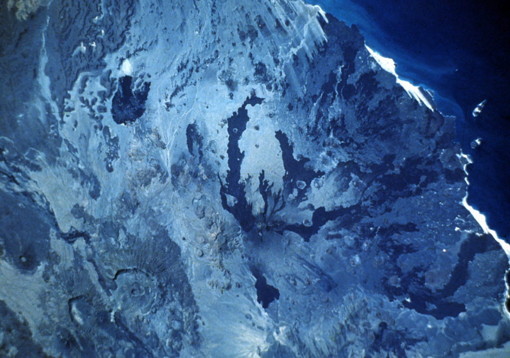
ダビ山
Dubbi
- タイプ
- 成層火山
- 標高
- 1625m
- 最終噴火
- 1861年
- タイプ
- 成層火山
- 国
- エリトリア
- 地域
- 東アフリカ / Afar Rift Volcanic Province
- 標高
- 1625m
- 座標
- 13.579, 41.809
- 最終噴火
- 1861年
- テクトニクス環境
- リフト帯 / 中間地殻 (15-25 km)
- 火山地形
- 複成火山
- 主要岩石
- 玄武岩 / ピクライト質玄武岩
地質学的概要
英語の原文Dubbi, located east of the Erta Ale Range and south of the crystalline basement rocks of the Danakil Alps, is a large volcanic massif that rises above the western shore of the Red Sea.
出典:Global Volcanism Program, Smithsonian Institution(抜粋) · GVP で全文を読む →
Wikipedia の要約
要約が短いです。詳細は記事全文をご覧ください。
ダビ山 は、アフリカ大陸北東部に存在する活火山の1つである。山体には過去の噴火の結果形成されたカルデラも見られる。
Wikipedia · CC BY-SA · 記事全文を読む →
噴火履歴
4件の記録用語集記録の概要
- 確認された噴火
- 2件
- 不確実な噴火
- 2件
- 確認された記録の範囲
- 1400年 ~ 1861年
- 確認された最大の噴火
- VEI 3(1861年)
- 1900年以降の確認された噴火
- 0件
概要 (VEI時系列)
バーをクリックすると個別の噴火が表示されます · 矢印キーで棒を移動、Enterで表示
詳細タイムライン
- 1900年VEI ?根拠の記載なし1900-07-02 ~ 終了日不明
- 1863年VEI 2根拠の記載なし1863-07-02 ~ 終了日不明
- 1861年VEI 3観測記録1861-05-08 ~ 1861-10-16
- 1400年VEI 2観測記録1400-07-15 ~ 終了日不明
近くの火山
外部リンク
⚠ 参考情報です。緊急対応には使用しないでください。