本文へスキップ
地図に戻る
比較地図で見る

エチオピア · 楯状火山

Mat Ala

タイプ
楯状火山
標高
493m
最終噴火
不明
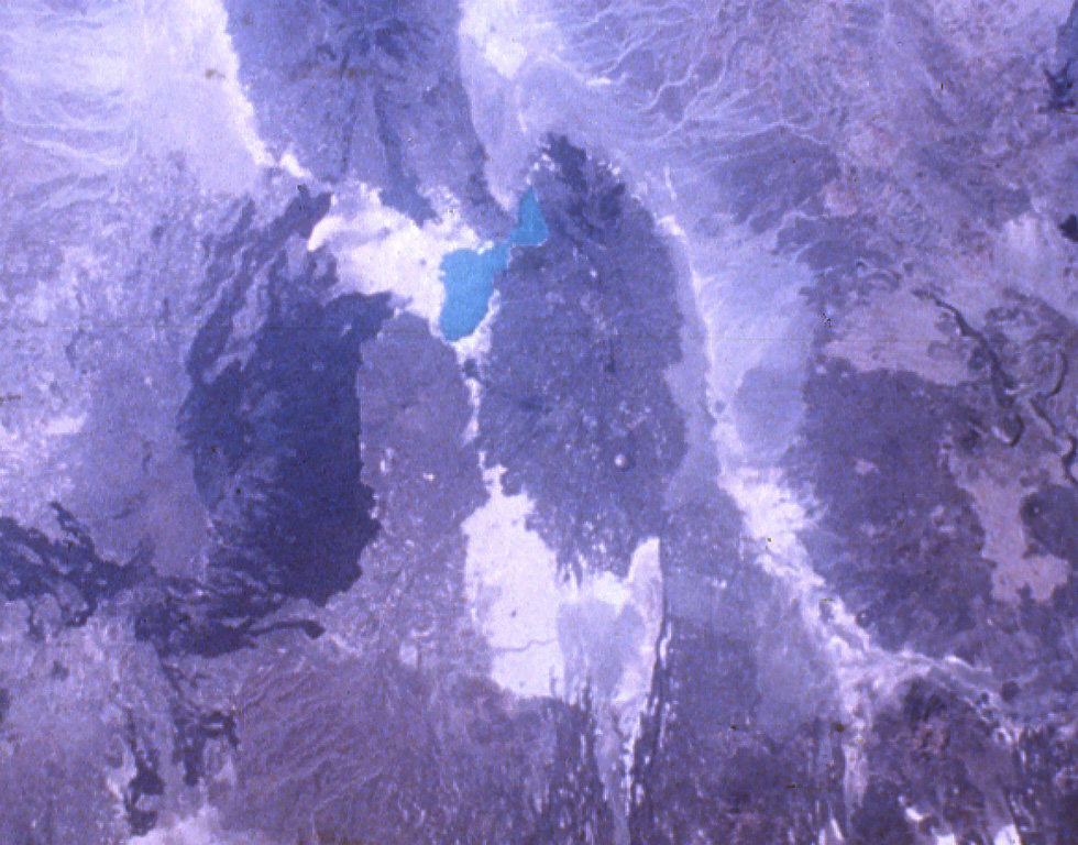
The elongated N-S-trending volcanic chain below and to the right of turquoise-colored Lake Afrera includes the Tat Ali complex at the N and the Mat Ala at the S. Mat Ala contains a small 2.5 x 3.5 km wide caldera visible as a small light-colored dot near the southern end of the chain in this NASA Space Shuttle image. To the SW of Lake Afrera is Afderà volcano and Alayta volcano with its extensive dark-colored lava flows is farther to the west.
The elongated N-S-trending volcanic chain below and to the right of turquoise-colored Lake Afrera includes the Tat Ali complex at the N and the Mat Ala at the S. Mat Ala contains a small 2.5 x 3.5 km wide caldera visible as a small light-colored dot near the southern end of the chain in this NASA Space Shuttle image. To the SW of Lake Afrera is Afderà volcano and Alayta volcano with its extensive dark-colored lava flows is farther to the west. · 写真: NASA Space Shuttle image S-19-35, 1984 (http://eol.jsc.nasa.gov/).
タイプ
楯状火山
国
エチオピア
地域
東アフリカ / Afar Rift Volcanic Province
標高
493m
座標
13.106, 41.161
最終噴火
不明
テクトニクス環境
リフト帯 / 中間地殻 (15-25 km)
火山地形
楯状火山
主要岩石
玄武岩 / ピクライト質玄武岩
地質学的概要

Mat Ala is a low shield volcano in the southern Tat Ali Range, east of Afderà volcano. A 300-m-deep, 2.5 x 3.5 km wide caldera is found at the summit of the volcano, whose flanks are cut by numerous N-S-trending faults. Mat Ala has been active during the Holocene, and fumarolic activity occurs along a fissure SW of the volcano.

噴火履歴

用語集

詳細タイムライン

噴火記録はありません。

近くの火山

外部リンク

⚠ 参考情報です。緊急対応には使用しないでください。