本文へスキップ
地図に戻る
比較地図で見る

エチオピア · 楯状火山

Dabbayra

タイプ
楯状火山
標高
1302m
最終噴火
不明
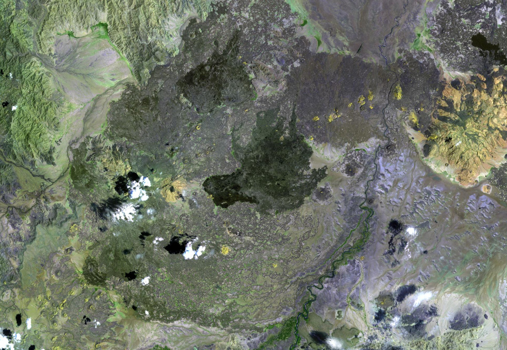
Dabbayra (center), the westernmost volcano of the Afar depression, lies near the edge of the Ethiopian escarpment. In contrast to structural trends in other parts of Afar, Dabbayra (also known as Bar-Ali) consists of a basaltic shield volcano elongated in an ENE-WSW direction. The only silicic volcanic rocks are a NNW-trending line of lava domes and lava flows near the crest of the volcano
Dabbayra (center), the westernmost volcano of the Afar depression, lies near the edge of the Ethiopian escarpment. In contrast to structural trends in other parts of Afar, Dabbayra (also known as Bar-Ali) consists of a basaltic shield volcano elongated in an ENE-WSW direction. The only silicic volcanic rocks are a NNW-trending line of lava domes and lava flows near the crest of the volcano · 写真: NASA Landsat image, 1999 (courtesy of Hawaii Synergy Project, Univ. of Hawaii Institute of Geophysics & Planetology).
タイプ
楯状火山
国
エチオピア
地域
東アフリカ / Afar Rift Volcanic Province
標高
1302m
座標
12.380, 40.070
最終噴火
不明
テクトニクス環境
リフト帯 / 中間地殻 (15-25 km)
火山地形
楯状火山
主要岩石
玄武岩 / ピクライト質玄武岩
地質学的概要

Dabbayra, the westernmost volcano of the Afar depression, was constructed along an offshoot of the Ethiopian escarpment, SW of the Teru plain. In contrast to structural trends in other parts of Afar, Dabbayra (also known as Bar-Ali) consists of a basaltic shield volcano elongated ENE-WSW. The only silicic volcanic rocks are a NNW-trending line of lava domes and lava flows near the crest of the volcano.

噴火履歴

用語集

詳細タイムライン

噴火記録はありません。

近くの火山

外部リンク

⚠ 参考情報です。緊急対応には使用しないでください。