エチオピア · 火山原
Northern Lake Abaya Volcanic Field
- タイプ
- 火山原
- 標高
- 1594m
- 最終噴火
- 不明
- タイプ
- 火山原
- 国
- エチオピア
- 地域
- 東アフリカ / Main Ethiopian Rift Volcanic Province
- 標高
- 1594m
- 座標
- 6.760, 37.970
- 最終噴火
- 不明
- テクトニクス環境
- プレート内部 / 大陸地殻 (> 25 km)
- 火山地形
- 火山群
地質学的概要
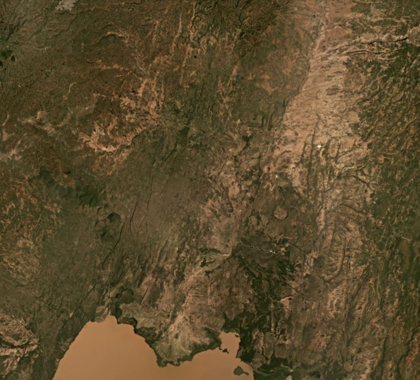
The Northern Lake Abaya volcanic field consists primarily of small Quaternary cones and basaltic lava flows between Doguna volcano to the north, Chericha to the E, Lake Abaya to the south, and the Hobitcha caldera to the west. The 3.5-km-long rhyolitic dome area immediately SE of the Hobitcha caldera trachytic ridge includes recent obsidian flows from vents at Hako and Salewa Dore (Corti et al., 2013).
噴火履歴
用語集詳細タイムライン
噴火記録はありません。
近くの火山
外部リンク
- 日本語版Wikipediaには未登録です。Wikidataで作成できます。
- Smithsonian GVP 原典ページ
⚠ 参考情報です。緊急対応には使用しないでください。