ケニア · 成層火山
ロンゴノット山
Longonot
- タイプ
- 成層火山
- 標高
- 2776m
- 最終噴火
- 1863年
- タイプ
- 成層火山
- 国
- ケニア
- 地域
- 東アフリカ / Kenyan Rift Volcanic Province
- 標高
- 2776m
- 座標
- -0.914, 36.446
- 最終噴火
- 1863年
- テクトニクス環境
- リフト帯 / 大陸地殻 (> 25 km)
- 火山地形
- 複成火山
- 主要岩石
- 粗面岩 / 粗面デイサイト
地質学的概要
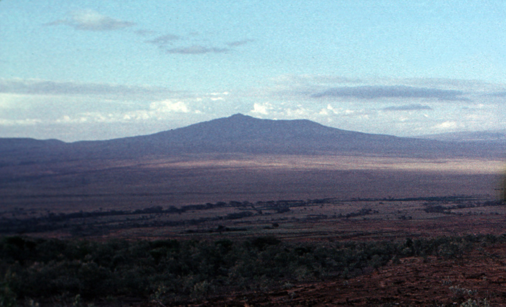
The trachytic Longonot stratovolcano SE of Lake Naivasha in the Gregory Rift valley contains a 8 x 12 km caldera. Formation of the caldera accompanied large explosive eruptions about 21,000 years ago. A large central cone that was constructed within the caldera, which forms the summit, is truncated by a circular, 1.8-km-wide crater. Post-caldera lavas are found on the caldera floor and the volcano's flanks, marking a late stage of effusive eruptions. A well-preserved satellitic cone is located on the NE flank. Masai tradition records a lava flow on the N flank during the 19th century. Similarly youthful-looking lava flows occur on the SW flank.
Wikipedia の要約
ロンゴノット山 は、ケニアにある火山である。グレート・リフト・ヴァレー内のナイヴァシャ湖の南東にある。1860年代の噴火を最後に活動を休止していると考えられている。「ロンゴノット」はマサイ語のoloonong'otからきており、「たくさんの突出部」または「険しい尾根」を意味する。マサイ族はこの山をオルドイニョ・ローノンゴット と呼んでいる。
Wikipedia · CC BY-SA · 記事全文を読む →
噴火履歴
3件の記録用語集詳細タイムライン
- 1863年 (±5年)VEI 0地質学的推定1863-07-02 ~ 終了日不明Northern flank
- 紀元前 1330年 (±100年)VEI ?地質学的推定紀元前 1330 ~ 終了日不明
- 紀元前 7200年 (±100年)VEI ?地質学的推定紀元前 7200 ~ 終了日不明
近くの火山
外部リンク
⚠ 参考情報です。緊急対応には使用しないでください。