カメルーン · 火山原
Tombel Graben
- タイプ
- 火山原
- 標高
- 500m
- 最終噴火
- 不明
- タイプ
- 火山原
- 国
- カメルーン
- 地域
- 北アフリカ / Western Africa Volcanic Province
- 標高
- 500m
- 座標
- 4.758, 9.717
- 最終噴火
- 不明
- テクトニクス環境
- プレート内部 / 大陸地殻 (> 25 km)
- 火山地形
- 火山群
- 主要岩石
- 粗面玄武岩 / テフライト・バサナイト
地質学的概要
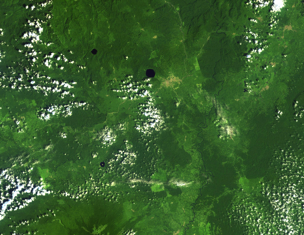
Young cinder cones and maars are abundant in the low-lying Tombel Graben (also referred to as the Tombel Plain) between Mount Cameroon and Mount Manengouba (within 4°58'N, 9°51'E and 4°33'N, 9°35'E). Mount Koupe, composed of Tertiary syenite, dominates the area. Activity began with the emission of large lava flows over Precambrian metamorphic rocks and Cretaceous sandstones, and concluded with explosive activity forming numerous cinder cones. The 800 km2 volcanic field, which erupted basanitic, basaltic, and trachybasaltic rocks, contains three large lake-filled maars, including Barombi Mbo, a compound maar near the town of Kumba. Legends record an eruption of Le Djungo (also known as Mont Pelé) that destroyed a village; though a small craterless cone is marked along a fault line on a map in Nkono (2009, after Nkouathio et al., 2002) it's unclear what cone is being described by the story, because no noticeably younger or unvegetated cones are apparent in satellite imagery. Two samples taken from the Njombe area in the farthest SW part of the field were K-Ar dated as possible Holocene (Nkouathio et al., 2008), though the error was too large to be definitive.
噴火履歴
用語集詳細タイムライン
噴火記録はありません。
近くの火山
外部リンク
- 日本語版Wikipediaには未登録です。Wikidataで作成できます。
- Smithsonian GVP 原典ページ
⚠ 参考情報です。緊急対応には使用しないでください。