インドネシア · 成層火山
パトゥハ山
Patuha
- タイプ
- 成層火山
- 標高
- 2422m
- 最終噴火
- 不明
- タイプ
- 成層火山
- 国
- インドネシア
- 地域
- スンダ・バンダ / Sunda Volcanic Arc
- 標高
- 2422m
- 座標
- -7.162, 107.400
- 最終噴火
- 不明
- テクトニクス環境
- 沈み込み帯 / 大陸地殻 (> 25 km)
- 火山地形
- 複成火山
- 主要岩石
- 安山岩 / 玄武岩質安山岩
地質学的概要
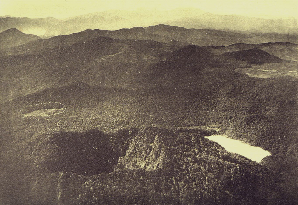
The forested andesitic Gunung Patuha rises SW of the plain of Bandung in western Java. Patuha is the northern peak of a roughly 5-km-long N-S volcanic massif, and has a 300 m crater at the summit. A few hundred meters down the SE flank is a 400 x 500 m crater almost completely filled with a shallow greenish lake, Kawah Putih. Sulfur deposits are present around the shoreline and near active fumaroles on the crater walls. A large debris-avalanche deposit extends down the NE flank. The volcano was formed during the late Pleistocene, but no Holocene eruptions are known.
Wikipedia の要約
英語版の要約Mount Patuha is a twin stratovolcano about 50 km to the southwest of Bandung in West Java, Indonesia. It is located in the Bandung District of West Java. It is one of numerous volcanoes in this area; others in the region include Mount Malabar, Mount Wayang, and Mount Papandayan.
Wikipedia · CC BY-SA · 記事全文を読む →
噴火履歴
用語集詳細タイムライン
噴火記録はありません。
近くの火山
外部リンク
⚠ 参考情報です。緊急対応には使用しないでください。