中国 · 火山原
Hainan Dao Volcanic Field
Hainan Volcanic Field
- タイプ
- 火山原
- 標高
- 196m
- 最終噴火
- 1933年
- タイプ
- 火山原
- 国
- 中国
- 地域
- 東アジア / Southeast Asia Volcanic Province
- 標高
- 196m
- 座標
- 19.905, 110.229
- 最終噴火
- 1933年
- テクトニクス環境
- プレート内部 / 大陸地殻 (> 25 km)
- 火山地形
- 火山群
- 主要岩石
- 玄武岩 / ピクライト質玄武岩
地質学的概要
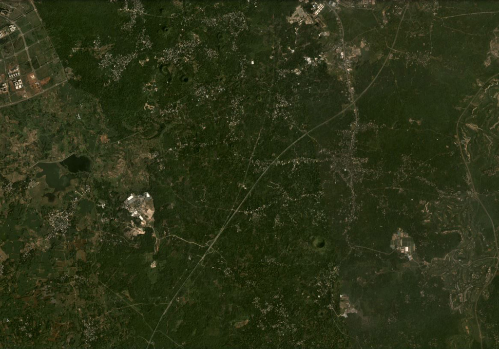
The Hainan volcanic field consists of Quaternary lava flows that extend over about 4,100 km2 of northern Hainan Island (also known as Qiong). This field, along with the Leizhou Bandao volcanic field across the Qiongzhou strait to the north on the Leizhou (Liuchow) Peninsula, forms the larger Leiqiong volcanic field (also called the Qionglei volcano group). As many as 58 cones and craters are still evident, primarily near the city of Hainan on the north-central coast of the island. Eruptions were reported in the Lingao and Chengmai areas in the 19th and 20th centuries. Leihuling and Maanshan, two of the best preserved volcanic cones, are oriented along an E-W fracture and are part of a cluster of about 30 cones in the Shishan and Yongzing regions. The Haikou Volcanic Cluster, part of the Leiqiong World Geopark, around the town of Shishan 15 km SE of Hainan city, includes 40 volcanic features.
Wikipedia の要約
英語版の要約The Hainan Volcanic Field is a 4,100 square kilometres (1,600 sq mi) volcanic field covering the northern half of Hainan, People's Republic of China. Although mostly Pleistocene-Holocene in age, minor eruptions have been recorded in the 19th and 20th centuries.
Wikipedia · CC BY-SA · 記事全文を読む →
噴火履歴
2件の記録用語集詳細タイムライン
- 1933年VEI ?観測記録1933-06-26 ~ 1933-07-08Nansheling ridge
- 1883年VEI ?観測記録1883-07-02 ~ 終了日不明Lingao
近くの火山
外部リンク
⚠ 参考情報です。緊急対応には使用しないでください。