アメリカ合衆国 · 成層火山
Seamount X
- タイプ
- 成層火山
- 標高
- 1230m (海底)
- 最終噴火
- 不明
- タイプ
- 成層火山
- 国
- アメリカ合衆国
- 地域
- 北西太平洋 / Mariana Volcanic Arc
- 標高
- 1230m (海底)
- 座標
- 13.250, 144.020
- 最終噴火
- 不明
- テクトニクス環境
- 沈み込み帯 / 地殻の厚さ不明
- 火山地形
- 複成火山
- 主要岩石
- 玄武岩 / ピクライト質玄武岩
地質学的概要
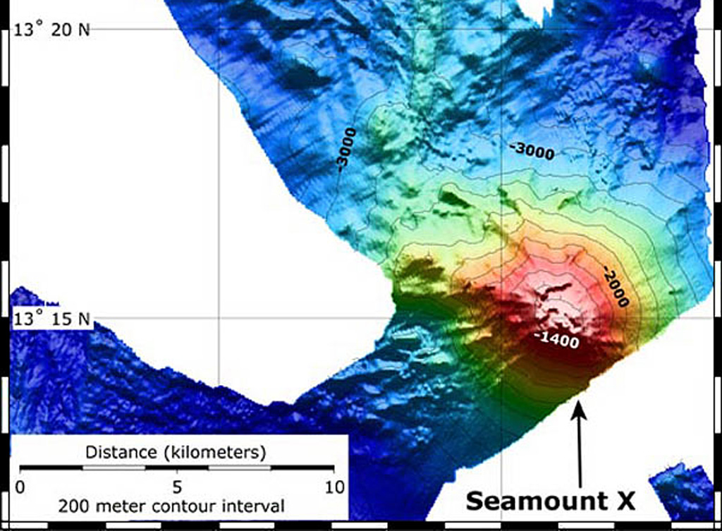
Hydrothermal activity was detected during a 2003 NOAA expedition at a submarine volcano about 70 km WSW of Guam. The summit of the volcano, referred to as Seamount X, lies 1,230 m below the ocean surface. Diffuse sites of thermal venting colonized by shrimps, crabs, and scaleworms were detected near the summit during a 2006 NOAA expedition, and thick deposits of sulfur flows originating from the hydrothermal vent were observed that were covered with thousands of squat lobsters. Basaltic rocks were recovered along with sulfur samples. The summit of the volcano is cut by an elongated caldera.
噴火履歴
用語集詳細タイムライン
噴火記録はありません。
近くの火山
外部リンク
- 日本語版Wikipediaには未登録です。Wikidataで作成できます。
- Smithsonian GVP 原典ページ
⚠ 参考情報です。緊急対応には使用しないでください。