ロシア · 火砕丘
Zavaritsky
- タイプ
- 火砕丘
- 標高
- 1547m
- 最終噴火
- -800年
- タイプ
- 火砕丘
- 国
- ロシア
- 地域
- 北西太平洋 / Eastern Kamchatka Volcanic Arc
- 標高
- 1547m
- 座標
- 53.907, 158.385
- 最終噴火
- -800年
- テクトニクス環境
- 沈み込み帯 / 大陸地殻 (> 25 km)
- 火山地形
- 複成火山
- 主要岩石
- 玄武岩 / ピクライト質玄武岩
地質学的概要
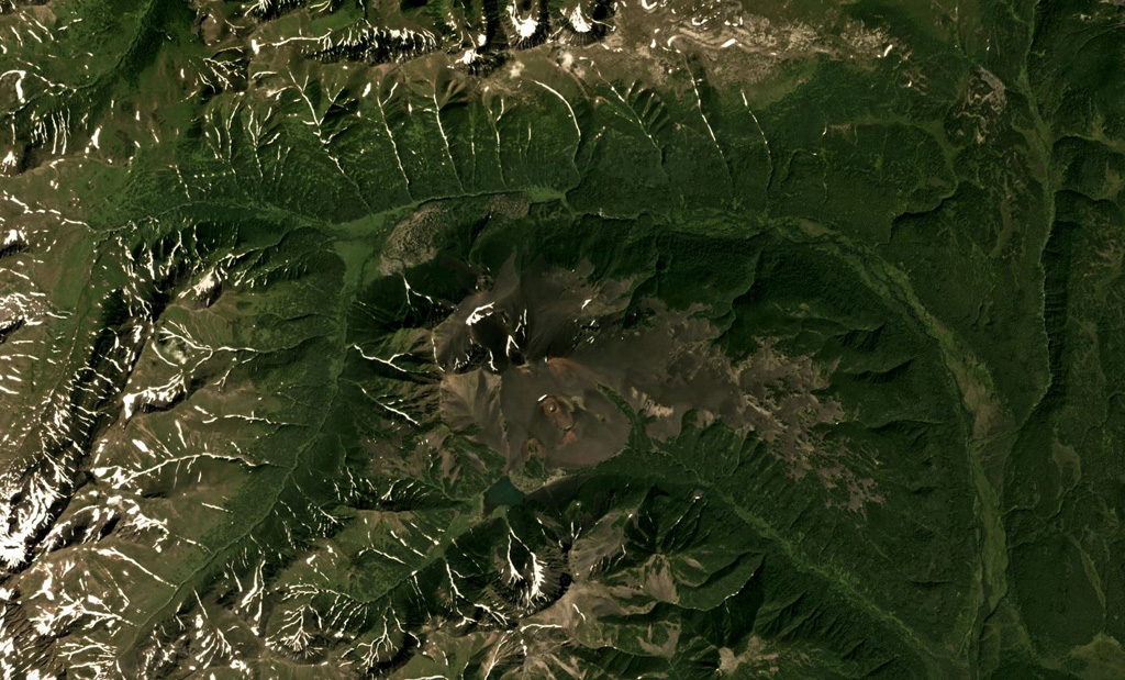
Zavaritsky volcano consists of a complex of six cinder cones trending NW-SE, and an explosion crater located near the headwaters of the Levaya Avacha River west of the main Eastern Kamchatka volcanic arc. The six cones were formed during an eruption about 2,800 years ago, during which associated lava flows blocked the Levaya Avacha and Ozernaya rivers, forming Lake Vulkanischeskoe along the Ozernaya drainage. The highest cone, Mount Peschanaya, lies near the southern end of the cone group. Other monogenetic cinder cones are located NW and NE of the volcano. The Berezovy cinder cone to the NW erupted ~11,000-10,000 radiocarbon years ago. An unnamed cone near the crest of a range dividing the Srednaya Avacha and Kavicha river drainages, about 14 km WNW, erupted about 3,000-2,500 years ago; it is slightly closer to Bakening volcano, but the chemistry of its products are related to those of Zavaritsky.
噴火履歴
2件の記録用語集詳細タイムライン
- 紀元前 800年 (±500年)VEI 2地質学的推定紀元前 800 ~ 終了日不明14 km WNW of Zavaritsky
- 紀元前 850年VEI 4地質学的推定紀元前 850 ~ 終了日不明Mt. Peschanaya and adjacent cones
近くの火山
外部リンク
- 日本語版Wikipediaには未登録です。Wikidataで作成できます。
- Smithsonian GVP 原典ページ
⚠ 参考情報です。緊急対応には使用しないでください。