ロシア · 楯状火山
ティティーラ山
Titila
- タイプ
- 楯状火山
- 標高
- 1523m
- 最終噴火
- -550年
- タイプ
- 楯状火山
- 国
- ロシア
- 地域
- 北西太平洋 / Central Kamchatka Volcanic Arc
- 標高
- 1523m
- 座標
- 57.406, 160.108
- 最終噴火
- -550年
- テクトニクス環境
- 沈み込み帯 / 大陸地殻 (> 25 km)
- 火山地形
- 楯状火山
- 主要岩石
- 玄武岩 / ピクライト質玄武岩
地質学的概要
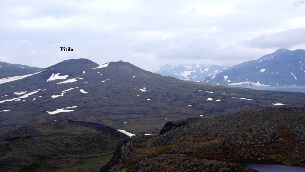
Titila is a small basaltic shield volcano NW of Lake Glubokoye, west of the crest of the central Sredinny Range. Lava flows radiate from two summit craters, and cinder cones are prominent on its southern flank. Titila overlaps to the W with another small shield volcano, Rassoshina, along with other features in the Sedanka Lava Field to the south. The latest known eruption took place about 2,500 years ago.
Wikipedia の要約
英語版の要約Titila is a shield volcano located in the northern part of Kamchatka Peninsula, Russia. It comprises two shield volcanoes: Titila and Rassoshina, from which Titila is the higher one.
Wikipedia · CC BY-SA · 記事全文を読む →
噴火履歴
1件の記録用語集概要 (VEI時系列)
バーをクリックすると個別の噴火が表示されます · 矢印キーで棒を移動、Enterで表示
詳細タイムライン
- 紀元前 550年VEI ?地質学的推定紀元前 550 ~ 終了日不明
近くの火山
外部リンク
⚠ 参考情報です。緊急対応には使用しないでください。