カナダ · 火山原
フォート・セルカーク火山域
Fort Selkirk
- タイプ
- 火山原
- 標高
- 1239m
- 最終噴火
- 不明
- タイプ
- 火山原
- 国
- カナダ
- 地域
- 北アメリカ / Northern Cordilleran Volcanic Province
- 標高
- 1239m
- 座標
- 62.930, -137.380
- 最終噴火
- 不明
- テクトニクス環境
- プレート内部 / 大陸地殻 (> 25 km)
- 火山地形
- 火山群
- 主要岩石
- 粗面玄武岩 / テフライト・バサナイト
地質学的概要
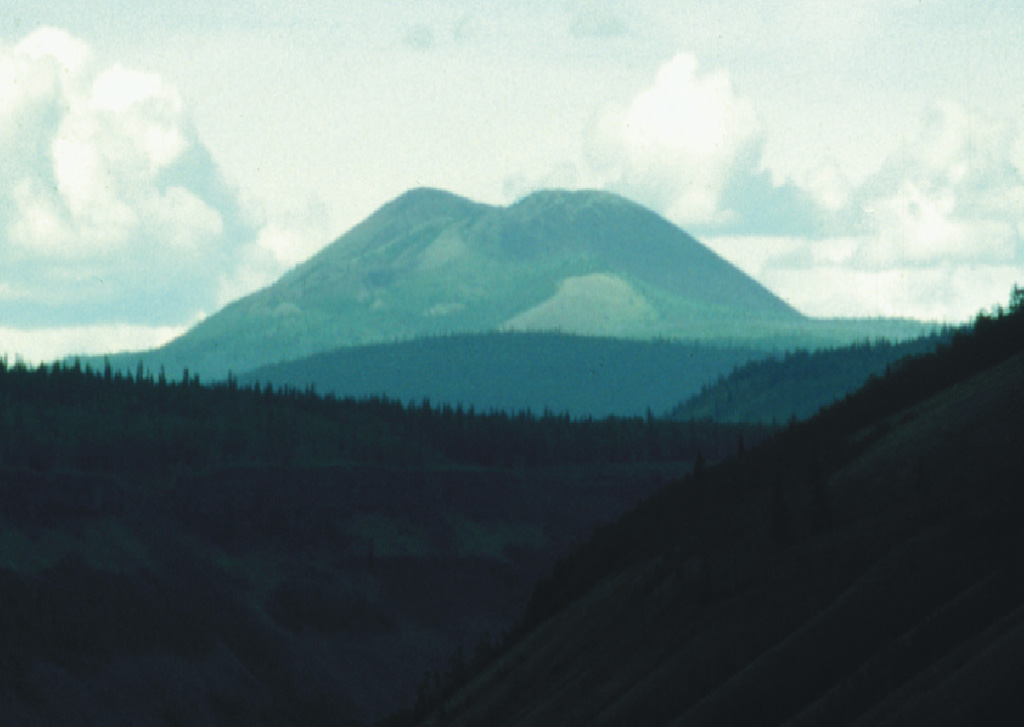
The Fort Selkirk volcanic field near the junction of the Yukon and Pelly rivers in central Yukon is the northernmost Holocene volcanic field in Canada. It consists of a sequence of valley filling alkaline olivine basalt and basanitic lava flows succeeded by construction of three nephelinitic pyroclastic cones and lava flow aprons. The Ne Ch'e Ddhawa pyroclastic cone (Wootten's Cone) is composed primarily of hyaloclastite tuffs, breccias, and pillow breccias erupted subglacially during the late Pleistocene (Jackson, 1989). The youngest cone, Volcano Mountain, produced young nephelinitic lava flows that remain unvegetated and appear to be only a few hundred years old. However, dating of sediments in a lake impounded by the lava flows indicated that the youngest flows could not be younger than mid-Holocene and could be early Holocene or older (Jackson and Stevens, 1992).
Wikipedia の要約
英語版の要約The Fort Selkirk volcanic field is a monogenetic volcanic field in the Northern Cordilleran Volcanic Province, Yukon Territory, Canada. It is the northernmost Holocene age volcanic field in Canada, located close to the connection of the Yukon and Pelly rivers. The youngest eruptions within the field are unknown. However, the youngest volcano Volcano Mountain produced lava flows that appear to be only a few hundred years old.
Wikipedia · CC BY-SA · 記事全文を読む →
噴火履歴
用語集詳細タイムライン
噴火記録はありません。
近くの火山
外部リンク
⚠ 参考情報です。緊急対応には使用しないでください。