メキシコ · 火山原
Zitácuaro-Valle de Bravo
Zitacuaro-Valle de Bravo
- タイプ
- 火山原
- 標高
- 3500m
- 最終噴火
- -3050年
- タイプ
- 火山原
- 国
- メキシコ
- 地域
- 中央アメリカ・カリブ海 / Trans-Mexican Volcanic Arc
- 標高
- 3500m
- 座標
- 19.400, -100.250
- 最終噴火
- -3050年
- テクトニクス環境
- 沈み込み帯 / 大陸地殻 (> 25 km)
- 火山地形
- 火山群
- 主要岩石
- デイサイト
地質学的概要
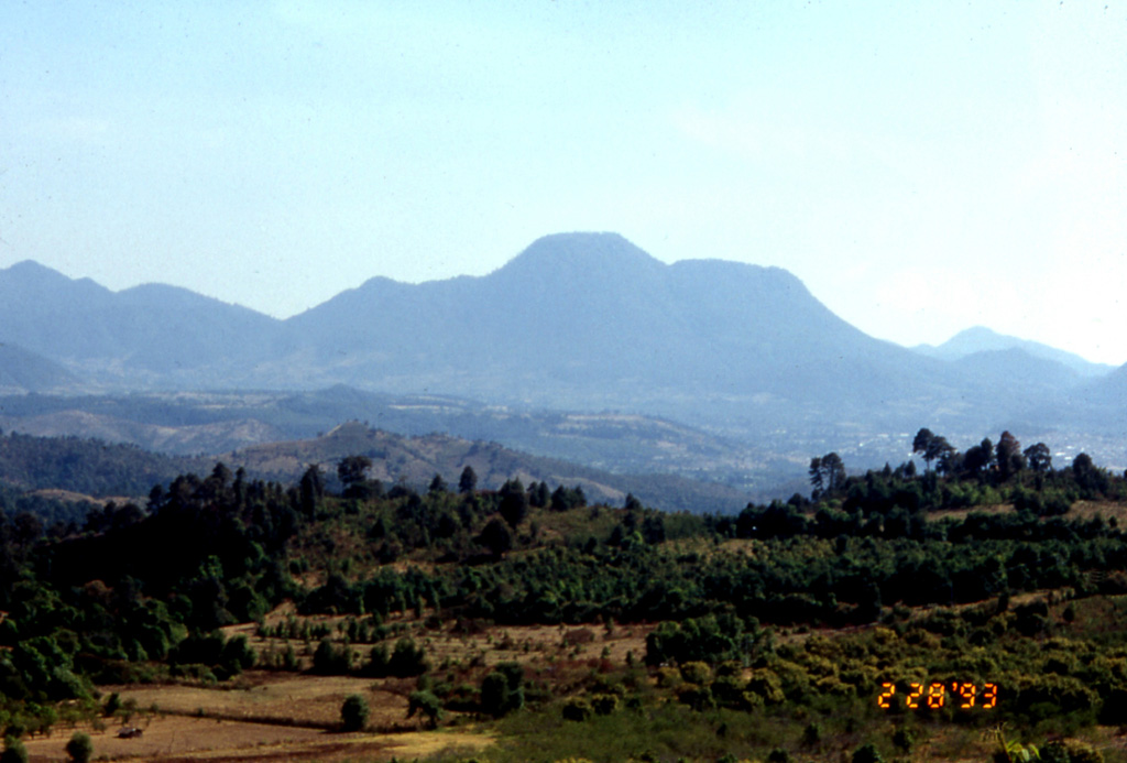
The Zitácuaro-Valle de Bravo volcanic field in the central part of the Trans-Mexican Volcanic Belt consists of a broad region of shield volcanoes, lava domes, and cinder cones surrounding the city of Heroica de Zitácuaro. The Zitácuaro volcanic complex itself, located SE of the city, was constructed within the 30-km-wide Las Tres Chicas caldera of Miocene age, which later underwent three post-caldera episodes of intra-caldera lava dome resurgence and included the intrusion of dacitic central lava domes, the emplacement of pyroclastic flows, and the eruption of andesitic lava flows. The youngest dated activity at the complex produced La Dieta airfall deposit about 31,000 years ago, and persistent local seismicity continues at Zitácuaro. The Valle de Bravo area to the south contains dominantly andesitic lava domes and flows, many of which were erupted along regional faults. The youngest flows were erupted at the bottom of a fault-controlled canyon; the most recent of these, west of the Valle de Bravo lake, has been Ar-Ar dated at about 5,200 +/- 2,300 years, and morphology suggests a Holocene age for other cones.
噴火履歴
1件の記録用語集詳細タイムライン
- 紀元前 3050年 (±2000年)VEI 0地質学的推定紀元前 3050 ~ 終了日不明West of Valle de Bravo
近くの火山
外部リンク
- 日本語版Wikipediaには未登録です。Wikidataで作成できます。
- Smithsonian GVP 原典ページ
⚠ 参考情報です。緊急対応には使用しないでください。