南極 · 成層火山
スタージ島
Sturge Island
- タイプ
- 成層火山
- 標高
- 1167m
- 最終噴火
- 不明
- タイプ
- 成層火山
- 国
- 南極
- 地域
- 南極・スコシア / Balleny Hotspot Volcano Group
- 標高
- 1167m
- 座標
- -67.400, 164.830
- 最終噴火
- 不明
- テクトニクス環境
- リフト帯 / 海洋地殻 (< 15 km)
- 火山地形
- 複成火山
- 主要岩石
- 粗面玄武岩 / テフライト・バサナイト
地質学的概要
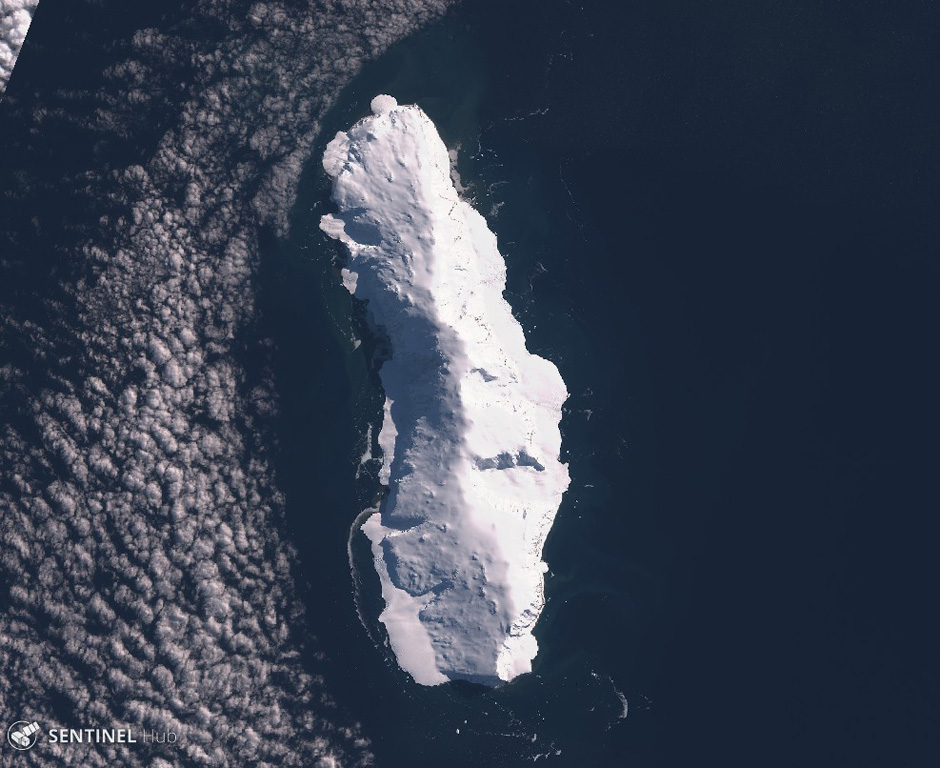
Sturge is the largest and southernmost of the Balleny Islands, which are located just off the coast of Antarctica's Victoria Land. The 44-km-long island is completely mantled by an icecap and has a prominent summit, Russel Peak, at the northern end. "Volcanic activity" was reported on a U.S. Navy chart, but no indications of present or past activity were noted in 1959 (Catalog of Active Volcanoes of the World). No detailed geologic studies have been conducted in the inaccessible Balleny Islands.
Wikipedia の要約
英語版の要約Sturge Island is one of the three main islands in the uninhabited Balleny Islands group located in the Southern Ocean. It lies 25 km (16 mi) southeast of Buckle Island and 95 km (59 mi) north-east of Belousov Point on the Antarctic mainland. The island also forms part of the Ross Dependency, claimed by New Zealand.
Wikipedia · CC BY-SA · 記事全文を読む →
噴火履歴
用語集詳細タイムライン
噴火記録はありません。
近くの火山
外部リンク
⚠ 参考情報です。緊急対応には使用しないでください。