예멘 · 화산군
Harras of Dhamar
Dhamar, Harras of
- 화산 유형
- 화산군
- 해발
- 3500m
- 마지막 분화
- 미확인
- 화산 유형
- 화산군
- 국가
- 예멘
- 지역
- 아라비아·중앙아시아 / Southwest Arabia Volcanic Province
- 해발
- 3500m
- 좌표
- 14.570, 44.670
- 마지막 분화
- 미확인
- 판구조 환경
- 판 내부 / 대륙 지각 (> 25 km)
- 화산 지형
- 화산군
- 주요 암석
- 현무암 / 피크로현무암
지질학적 요약
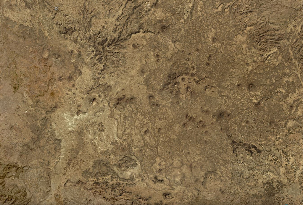
The lava fields surrounding the town of Dhamar are part of a volcanic field extending 80 km E that includes several stratovolcanoes and many youthful volcanic cones. Basaltic lava flows overlie older rhyolitic flows. Residents near Dhamar "spoke of a volcanic eruption that must have taken place in 1937 near the town" (von Wissmann, 1942; Rathjens and von Wissmann, 1942; cited in Neumann van Padang, 1963); this supposed activity has not been confirmed, located, or described by later work.
분화 이력
1건 기록용어집요약 (VEI 시계열)
막대를 클릭하면 개별 분화가 표시됩니다 · 화살표 키로 막대 이동, Enter로 열기
상세 타임라인
- 1937년VEI 2관측 기록1937-07-02 ~ 종료일 미상Near the town of Dhamar
주변 화산
외부 링크
⚠ 참고용 정보입니다. 재난 대응에 사용하지 마세요.