예멘 · 화산군
Harra es-Sawad
Sawad, Harra Es-
- 화산 유형
- 화산군
- 해발
- 1737m
- 마지막 분화
- 1253년
- 화산 유형
- 화산군
- 국가
- 예멘
- 지역
- 아라비아·중앙아시아 / Southwest Arabia Volcanic Province
- 해발
- 1737m
- 좌표
- 13.580, 46.120
- 마지막 분화
- 1253년
- 판구조 환경
- 판 내부 / 대륙 지각 (> 25 km)
- 화산 지형
- 화산군
- 주요 암석
- 조면현무암 / 테프라이트 바사나이트
지질학적 요약
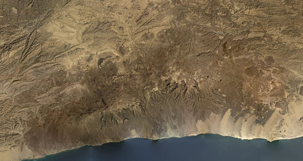
The Harra es-Sawâd (or Shuqra) volcanic field in southern Yemen extends for nearly 100 km along the Gulf of Aden, east of the city of Shuqra (Shaqra). The field is oriented WSW-ENE and contains about a hundred cones that have sent lava flows across a 40 x 95 km area of faulted basement limestones. Most of the volcanic field is Holocene in age (Cox et al., 1977), and in many cases the flows and cones are essentially uneroded. The only recorded event was a major, but poorly documented, eruption in 1253 CE.
분화 이력
1건 기록용어집요약 (VEI 시계열)
막대를 클릭하면 개별 분화가 표시됩니다 · 화살표 키로 막대 이동, Enter로 열기
상세 타임라인
- 1253년VEI 3관측 기록1253 ~ 종료일 미상
주변 화산
외부 링크
⚠ 참고용 정보입니다. 재난 대응에 사용하지 마세요.