인도네시아 · 성층화산
Mount Pulosari
Pulosari
- 화산 유형
- 성층화산
- 해발
- 1324m
- 마지막 분화
- 미확인
- 화산 유형
- 성층화산
- 국가
- 인도네시아
- 지역
- 순다·반다 / Sunda Volcanic Arc
- 해발
- 1324m
- 좌표
- -6.343, 105.978
- 마지막 분화
- 미확인
- 판구조 환경
- 섭입대 / 대륙 지각 (> 25 km)
- 화산 지형
- 복성화산체
- 주요 암석
- 안산암 / 현무암질 안산암
지질학적 요약
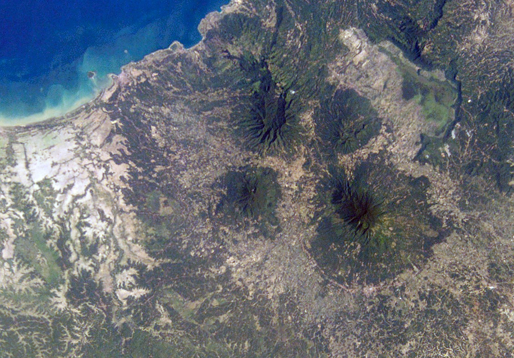
The basaltic-to-andesitic Pulosari stratovolcano at the western end of Java lies south of the 15-km-wide Pleistocene Danau caldera. The summit contains a nearly 300-m-deep crater open to the ENE with active solfataras on its wall. It is SW across a low saddle from the higher Karang volcano, which was constructed on the SE rim of Danau caldera.
Wikipedia 요약
영어 요약Mount Pulosari is a stratovolcano in Pandeglang Regency, Banten, in West Java Indonesia. There are active solfataras on its 300-metre (980 ft) deep caldera wall.
Wikipedia · CC BY-SA · 전체 기사 보기 →
분화 이력
용어집상세 타임라인
분화 기록이 없습니다.
주변 화산
외부 링크
⚠ 참고용 정보입니다. 재난 대응에 사용하지 마세요.