인도네시아 · 성층화산
Perbakti-Gagak
- 화산 유형
- 성층화산
- 해발
- 1726m
- 마지막 분화
- 1939년
- 화산 유형
- 성층화산
- 국가
- 인도네시아
- 지역
- 순다·반다 / Sunda Volcanic Arc
- 해발
- 1726m
- 좌표
- -6.750, 106.675
- 마지막 분화
- 1939년
- 판구조 환경
- 섭입대 / 대륙 지각 (> 25 km)
- 화산 지형
- 복성화산체
- 주요 암석
- 안산암 / 현무암질 안산암
지질학적 요약
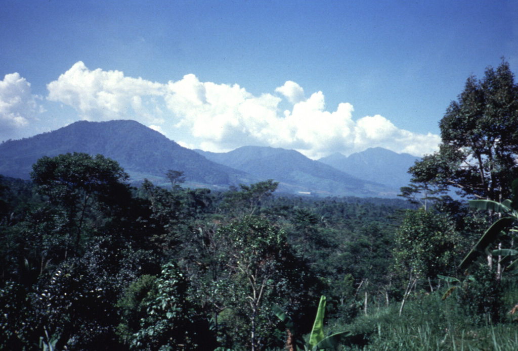
The Perbakti-Gagak volcanic complex, also known as Kiaraberes-Gagak, is a cluster of deeply eroded stratovolcanoes situated immediately SW of Salak volcano. The summit ridge of Gunung Perbakti is elongated in a NW-SE direction, and Gunung Endut volcano rises above a saddle to its SW. Gunung Gagak, to the NW, is capped by pumice and obsidian, with obsidian lava flows extending N and NE. Quaternary rhyolitic lava domes form a NNE-trending chain at the eastern side of the complex. Two 2-km-wide depressions on the northern and southern sides of Perbakti form the headwaters of the Kaluwung Herang and Pamatutan rivers, respectively. The complex is marked by vigorous geothermal activity. Fumaroles, mud pots, and hot springs are located on the S and SE flanks of Perbakti and at the Kiaraberes area, which includes the commercial geothermal field of Awibengkok. Mild phreatic eruptions took place during the Holocene into historical time from flank fumarolic fields.
분화 이력
7건 기록용어집상세 타임라인
- 1939년VEI 1관측 기록1939-04-06 ~ 종료일 미상Kawah Parabakti
- 1938년VEI 1관측 기록1938-12-16 ~ 종료일 미상Kawah Parabakti
- 1936년VEI 1관측 기록1936-10-26 ~ 1936-10-28Cipanas Parabakti
- 1935년VEI 1관측 기록1935-05-31 ~ 종료일 미상Kawah Cibodas
- 1929년VEI 1관측 기록1929-07-02 ~ 종료일 미상Cibeureum West
- 1923년VEI 1관측 기록1923-06-16 ~ 종료일 미상Kawah Cibodas
- 기원전 6450년VEI ?지질학적 추정기원전 6450 ~ 종료일 미상Kiaraberes
주변 화산
외부 링크
- 한국어 Wikipedia에 아직 기사가 없습니다. Wikidata에서 작성할 수 있습니다.
- Smithsonian GVP 원본 페이지
⚠ 참고용 정보입니다. 재난 대응에 사용하지 마세요.