중국 · 화산군
Honggeertu volcanic field
Honggeertu
- 화산 유형
- 화산군
- 해발
- 1605m
- 마지막 분화
- 미확인
- 화산 유형
- 화산군
- 국가
- 중국
- 지역
- 동아시아 / Central East Asia Volcanic Province
- 해발
- 1605m
- 좌표
- 41.590, 113.111
- 마지막 분화
- 미확인
- 판구조 환경
- 판 내부 / 대륙 지각 (> 25 km)
- 화산 지형
- 화산군
- 주요 암석
- 현무암 / 피크로현무암
지질학적 요약
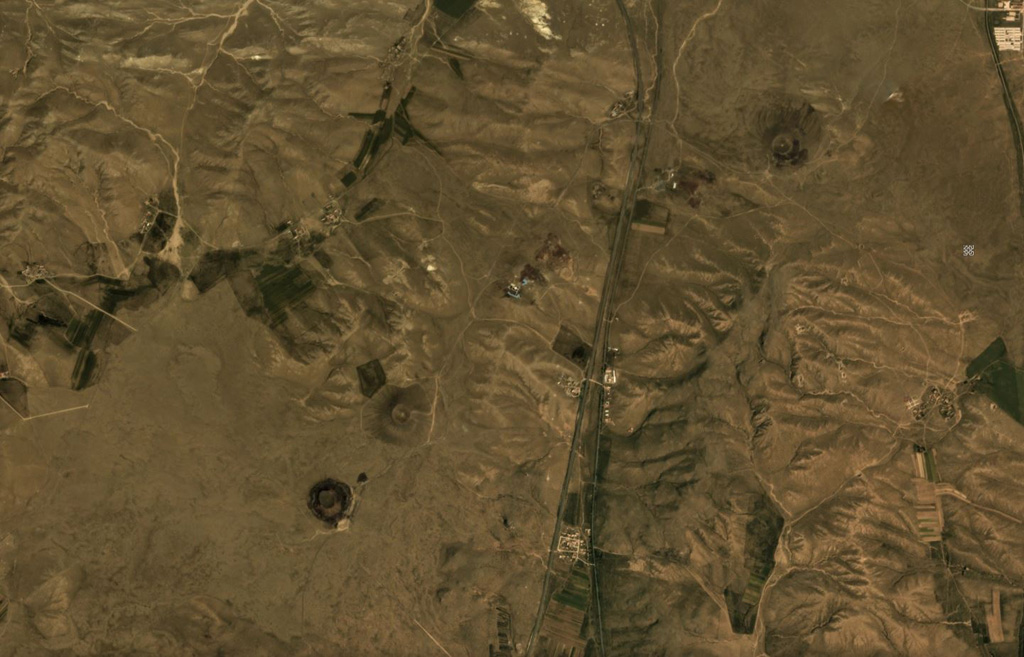
The Honggeertu volcanic field is located in Nei Mongol Province, NW of Beijing. The basaltic volcanic field consists of a group of six cinder cones extending along an arc for about 10 km that were considered to be of Holocene age by IAVCEI (1973). Liu (1998, p.c.), however, considered the existence of Holocene volcanism at this location to be uncertain.
분화 이력
용어집상세 타임라인
분화 기록이 없습니다.
주변 화산
외부 링크
⚠ 참고용 정보입니다. 재난 대응에 사용하지 마세요.