중국 · 화산군
Longgang volcano group
Longgang Group
- 화산 유형
- 화산군
- 해발
- 1000m
- 마지막 분화
- 350년
- 화산 유형
- 화산군
- 국가
- 중국
- 지역
- 동아시아 / Central East Asia Volcanic Province
- 해발
- 1000m
- 좌표
- 42.330, 126.500
- 마지막 분화
- 350년
- 판구조 환경
- 판 내부 / 대륙 지각 (> 25 km)
- 화산 지형
- 화산군
- 주요 암석
- 현무암 / 피크로현무암
지질학적 요약
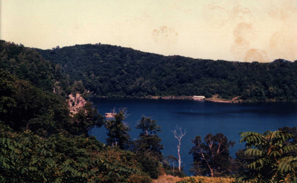
The Longgang volcanic field covers 1,700 km2 in the Jilin Province of NE China. Basaltic and trachybasaltic lava flows cover a large area containing more than 150 Quaternary cinder cones and eight tuff rings. There is only one known cinder cone of Holocene age, Jinlongdingzi (Gold Dragon Peak); the eruption formed the large scoria cone and deposited tephra over a broad area to the E which was radiocarbon dated at about 1,600-1,700 years ago.
분화 이력
1건 기록용어집요약 (VEI 시계열)
막대를 클릭하면 개별 분화가 표시됩니다 · 화살표 키로 막대 이동, Enter로 열기
상세 타임라인
- 350년VEI ?지질학적 추정350 ~ 종료일 미상Jinlongdingzi
주변 화산
외부 링크
⚠ 참고용 정보입니다. 재난 대응에 사용하지 마세요.