중국 · 화산군
Keluo
Keluo Group
- 화산 유형
- 화산군
- 해발
- 670m
- 마지막 분화
- 미확인
- 화산 유형
- 화산군
- 국가
- 중국
- 지역
- 동아시아 / Central East Asia Volcanic Province
- 해발
- 670m
- 좌표
- 49.370, 125.920
- 마지막 분화
- 미확인
- 판구조 환경
- 판 내부 / 대륙 지각 (> 25 km)
- 화산 지형
- 화산군
- 주요 암석
- 조면현무암 / 테프라이트 바사나이트
지질학적 요약
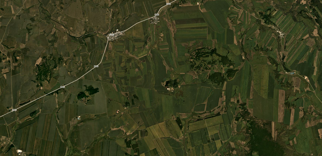
The Keluo volcanic field in NE China is located near the Russian border, S of the Heilongjiang (Black Dragon) River. Like its better known neighbor to the S, the Wudalianchi volcanic field, it contains many high-potassium basaltic cinder cones. Nanshan cone, located at the southern end of the field N of the Keluo River, may be of historical age, based on its youthful appearance, and Gushan may also be Holocene. Other cones to the NE are of Pleistocene to Tertiary. Cinder cones are located at the intersections of regional NE- and NW-trending lineaments, and were erupted through basement volcanic and sedimentary rocks of Jurassic-Cretaceous age, granitic rocks, and pre-Permian metasediments. There are unconfirmed reports of observed activity.
분화 이력
용어집상세 타임라인
분화 기록이 없습니다.
주변 화산
외부 링크
⚠ 참고용 정보입니다. 재난 대응에 사용하지 마세요.