캐나다 · 화산군
Fort Selkirk volcanic field
Fort Selkirk
- 화산 유형
- 화산군
- 해발
- 1239m
- 마지막 분화
- 미확인
- 화산 유형
- 화산군
- 국가
- 캐나다
- 지역
- 북아메리카 / Northern Cordilleran Volcanic Province
- 해발
- 1239m
- 좌표
- 62.930, -137.380
- 마지막 분화
- 미확인
- 판구조 환경
- 판 내부 / 대륙 지각 (> 25 km)
- 화산 지형
- 화산군
- 주요 암석
- 조면현무암 / 테프라이트 바사나이트
지질학적 요약
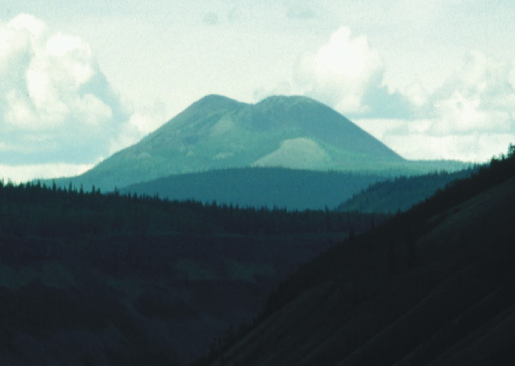
The Fort Selkirk volcanic field near the junction of the Yukon and Pelly rivers in central Yukon is the northernmost Holocene volcanic field in Canada. It consists of a sequence of valley filling alkaline olivine basalt and basanitic lava flows succeeded by construction of three nephelinitic pyroclastic cones and lava flow aprons. The Ne Ch'e Ddhawa pyroclastic cone (Wootten's Cone) is composed primarily of hyaloclastite tuffs, breccias, and pillow breccias erupted subglacially during the late Pleistocene (Jackson, 1989). The youngest cone, Volcano Mountain, produced young nephelinitic lava flows that remain unvegetated and appear to be only a few hundred years old. However, dating of sediments in a lake impounded by the lava flows indicated that the youngest flows could not be younger than mid-Holocene and could be early Holocene or older (Jackson and Stevens, 1992).
Wikipedia 요약
영어 요약The Fort Selkirk volcanic field is a monogenetic volcanic field in the Northern Cordilleran Volcanic Province, Yukon Territory, Canada. It is the northernmost Holocene age volcanic field in Canada, located close to the connection of the Yukon and Pelly rivers. The youngest eruptions within the field are unknown. However, the youngest volcano Volcano Mountain produced lava flows that appear to be only a few hundred years old.
Wikipedia · CC BY-SA · 전체 기사 보기 →
분화 이력
용어집상세 타임라인
분화 기록이 없습니다.
주변 화산
외부 링크
⚠ 참고용 정보입니다. 재난 대응에 사용하지 마세요.