Papua New Guinea · Stratovolcano
Hydrographers Range
- Type
- Stratovolcano
- Elevation
- 1915m
- Last eruption
- Unknown
- Type
- Stratovolcano
- Country
- Papua New Guinea
- Region
- Southwestern Pacific / Trobriand Volcanic Province
- Elevation
- 1915m
- Coordinates
- -9.000, 148.370
- Last eruption
- Unknown
- Tectonic setting
- Subduction zone / Continental crust (> 25 km)
- Landform
- Composite
- Major rock type
- Andesite / Basaltic andesite
Geological summary
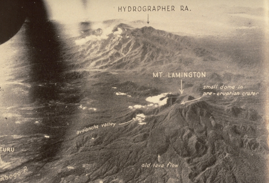
The Hydrographers Range is a forested, deeply dissected andesitic volcanic massif extending from the eastern margin of Mount Lamington north to the coast of eastern Papua New Guinea. Most activity took place during the Pleistocene, but perfectly preserved cinder cones and explosion craters on the southern side of the range suggested that some activity took place during the Holocene (Taylor, 1958). Other well-preserved cones are situated in the high country overlooking Songade village on the coast.
From Wikipedia
The Hydrographers Range is a forested mountain range in the Oro Province of southeastern Papua New Guinea. It extends from the eastern margin of Mount Lamington in the west to the Pacific Ocean coast in the east.
Wikipedia · CC BY-SA · Read full article →
Eruption history
GlossaryDetailed timeline
No eruption records available.
Nearby volcanoes
External links
⚠ For reference only. Not for emergency response.