Papua New Guinea · Lava dome
Iamalele
- Type
- Lava dome
- Elevation
- 194m
- Last eruption
- Unknown
- Type
- Lava dome
- Country
- Papua New Guinea
- Region
- Southwestern Pacific / Trobriand Volcanic Province
- Elevation
- 194m
- Coordinates
- -9.506, 150.524
- Last eruption
- Unknown
- Tectonic setting
- Subduction zone / Continental crust (> 25 km)
- Landform
- Cluster
- Major rock type
- Andesite / Basaltic andesite
Geological summary
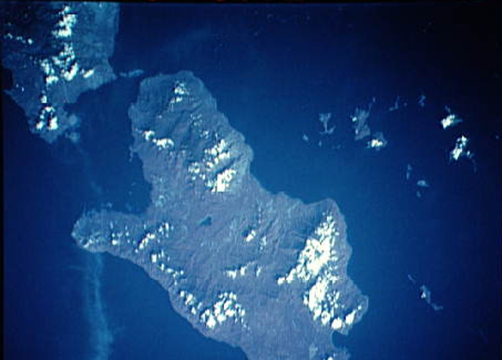
Multiple volcanic features and active thermal areas are located on the SW part of Fergusson Island, in the center of the D'Entrecasteaux island group.
Excerpt from the Global Volcanism Program, Smithsonian Institution · Read the full summary on GVP →
Eruption history
GlossaryDetailed timeline
No eruption records available.
Nearby volcanoes
External links
- Not yet on Wikipedia (English). You can contribute on Wikidata.
- Smithsonian GVP source page
⚠ For reference only. Not for emergency response.