Papua New Guinea · Volcanic field
Dawson Strait Group
- Type
- Volcanic field
- Elevation
- 500m
- Last eruption
- 1350
- Type
- Volcanic field
- Country
- Papua New Guinea
- Region
- Southwestern Pacific / Trobriand Volcanic Province
- Elevation
- 500m
- Coordinates
- -9.620, 150.880
- Last eruption
- 1350
- Tectonic setting
- Subduction zone / Continental crust (> 25 km)
- Landform
- Cluster
- Major rock type
- Rhyolite
Geological summary
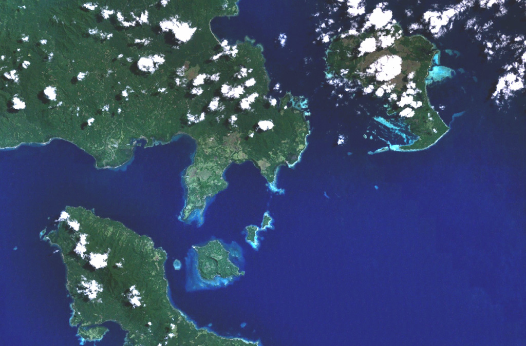
The Dawson Straits, located between eastern Fergusson and western Normanby Islands in the D'Entrecasteaux island group, contains a volcanic field with several centers that define a possible partly submerged caldera. There have been no historical eruptions, but morphology suggests an extremely young age for some lava flows, and the area displays vigorous thermal activity. The most prominent volcanic centers are Mounts Lamonai and Oiau, located about 10 km apart on the SW tip of Fergusson Island. The summit of Lamonai is capped by a steep-walled crater, and rhyolitic lava flows are exposed on the NE side of the cone. The dominantly volcaniclastic Oiau cone has also produced obsidian lava flows. Dobu Island to the south is formed of coalescing volcanic centers and likewise has produced youthful rhyolitic obsidian flows.
Eruption history
1 recordedGlossaryDetailed timeline
- 1350VEI ?Geological estimate1350 – end unknownOiau
Nearby volcanoes
External links
- Not yet on Wikipedia (English). You can contribute on Wikidata.
- Smithsonian GVP source page
⚠ For reference only. Not for emergency response.