Indonesia · Complex volcano
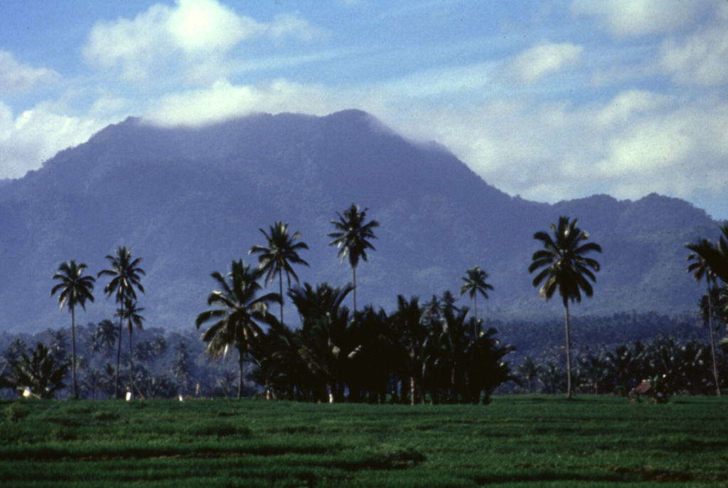
Ambang
- Type
- Complex volcano
- Elevation
- 1795m
- Last eruption
- 2005
- Type
- Complex volcano
- Country
- Indonesia
- Region
- Western Pacific / Sangihe Volcanic Arc
- Elevation
- 1795m
- Coordinates
- 0.750, 124.420
- Last eruption
- 2005
- Tectonic setting
- Subduction zone / Continental crust (> 25 km)
- Landform
- Composite
- Major rock type
- Andesite / Basaltic andesite
Geological summary
The compound Ambang volcano is the westernmost of the active volcanoes on the northern arm of Sulawesi.
Excerpt from the Global Volcanism Program, Smithsonian Institution · Read the full summary on GVP →
From Wikipedia
Ambang is a complex of volcanoes at the western end of the northern arm of Sulawesi island, Indonesia. There are two lakes, lake Mo'oat and lake Tondok, at an elevation of 750 m. The larger of the two lakes is Mo'oat. Both of them are side by side. The volcano contains several craters up to 400 m in diameter and five solfatara fields. The only historical account of its eruption occurred sometime in the 1850s.
Wikipedia · CC BY-SA · Read full article →
Eruption history
2 recordedGlossaryRecord summary
- Confirmed eruptions
- 2
- Uncertain eruptions
- 0
- Span of confirmed record
- 1845 (±5 yrs) – 2005
- Largest confirmed eruption
- VEI 1 (2005)
- Confirmed eruptions since 1900
- 1
Summary (VEI over time)
Click a bar to see individual eruptions · Use arrow keys to move between bars, Enter to open
Detailed timeline
- 2005VEI 1Observed2005-12-22 – end unknown
- 1845 (±5 yrs)VEI ?Observed1845-07-02 – end unknown
Nearby volcanoes
External links
⚠ For reference only. Not for emergency response.