Undersea features · Fissure vent
Cleft Segment
- Type
- Fissure vent
- Elevation
- 2140m (submarine)
- Last eruption
- 1986
- Type
- Fissure vent
- Country
- Undersea features
- Region
- Eastern Pacific / Northeast Pacific Rifts Volcanic Province
- Elevation
- 2140m (submarine)
- Coordinates
- 44.830, -130.300
- Last eruption
- 1986
- Tectonic setting
- Rift zone / Oceanic crust (< 15 km)
- Landform
- Cluster
- Major rock type
- Basalt / Picro-basalt
Geological summary
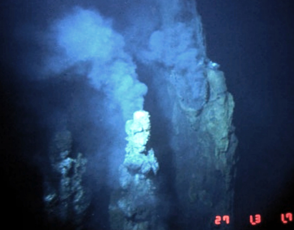
The Cleft Segment, the southernmost of the Juan de Fuca Ridge, lies immediately north of the Blanco Fracture Zone. The 80-km-long segment is named for a nearly continuous 10-km-long, 30-50 m wide cleft at its southern end. Two episodes of seafloor spreading were documented along the northern part of the segment in the 1980's. Bathymetric surveys indicated that a series of discontinuous pillow-lava mounds were extruded along a 17-km-long fissure between 1981 and 1987. The eruption possibly coincided with emission of a large plume of hot mineral-laden water in 1986. The location is at a depth of about 2,300 m near the northern edge of the Cleft segment and the southern end of the Vance segment of the Juan de Fuca Ridge, about 500 km W of the central Oregon coast. Youthful sheet-lava flows immediately south of the pillow lavas were estimated to be only a few years older.
Eruption history
3 recordedGlossaryDetailed timeline
- 1986VEI 0Observed1986-08-16 – end unknownN Cleft Segment, S Juan de Fuca Ridge
- 1982VEI 0Observed1982-07-02 – end unknownN Cleft Segment, S Juan de Fuca Ridge
- 270 BCEVEI 0Geological estimate270 BCE – end unknownS Cleft Segment, S Juan de Fuca Ridge
Nearby volcanoes
External links
- Not yet on Wikipedia (English). You can contribute on Wikidata.
- Smithsonian GVP source page
⚠ For reference only. Not for emergency response.