Islandia · Estratovolcán
Fremri-Námur
Fremrinamar
- Tipo
- Estratovolcán
- Altitud
- 970 m
- Última erupción
- -1200
- Tipo
- Estratovolcán
- País
- Islandia
- Región
- Océano Atlántico / Iceland Neovolcanic Rift Volcanic Province
- Altitud
- 970 m
- Coordenadas
- 65.416, -16.666
- Última erupción
- -1200
- Contexto tectónico
- Zona de rift / Corteza oceánica (< 15 km)
- Forma volcánica
- Compuesto
- Roca principal
- Basalto / Picrobasalto
Resumen geológico
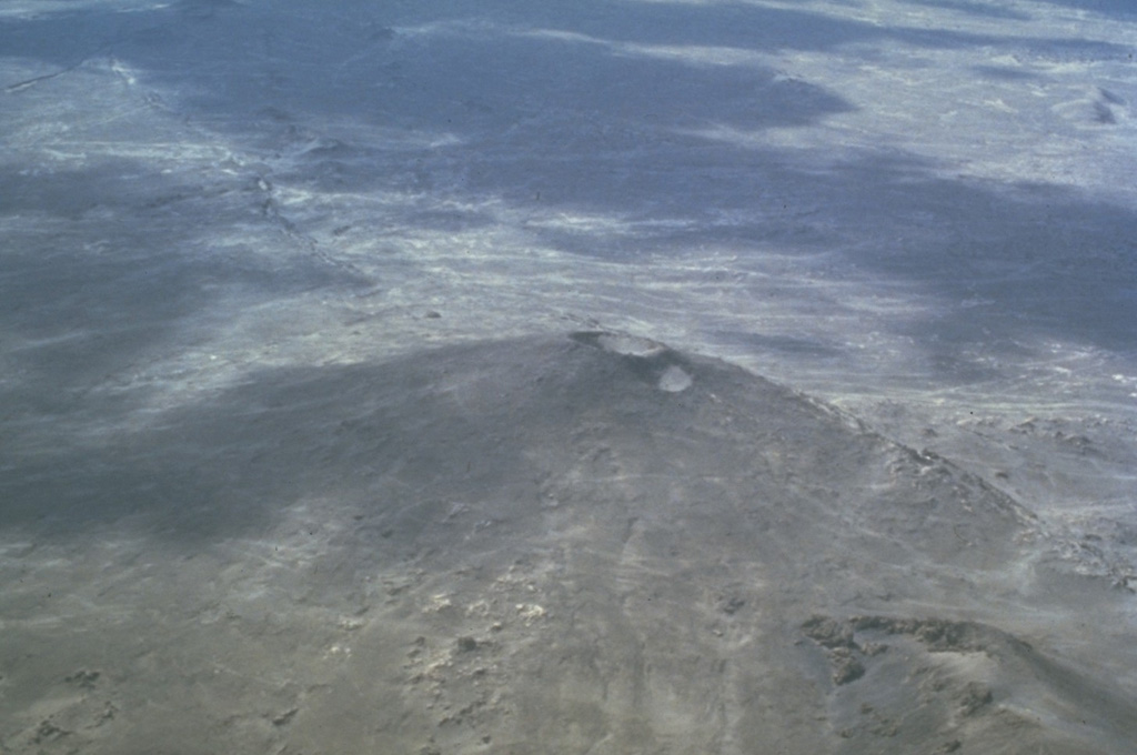
Original en inglésThe Fremrinámar volcanic system, N of Askja and SE of Myvatn lake, includes the central Ketildyngja shield volcano and the Sveinar fissure swarm that extends 130 km to the north coast of Iceland.
Extracto del Global Volcanism Program, Smithsonian Institution · Leer el resumen completo en el GVP →
Resumen de Wikipedia
El Fremrinámur o Fremri-Námur es un sistema volcánico desprovisto de volcán central a 25 km al sureste del lago Mývatn y al noroeste del volcán Askja.
Wikipedia · CC BY-SA · Leer artículo completo →
Historial de erupciones
4 registradasGlosarioResumen del registro
- Erupciones confirmadas
- 4
- Erupciones inciertas
- 0
- Período del registro confirmado
- 4050 a. C. (±1050 años) – 1200 a. C.
- Mayor erupción confirmada
- VEI 0 (2300 a. C., la más reciente de 2)
- Erupciones confirmadas desde 1900
- 0
Resumen (VEI en el tiempo)
Haga clic en una barra para ver erupciones individuales · Usa las flechas para moverte entre barras y Enter para abrir
Línea de tiempo detallada
- 1200 a. C.VEI ?Estimación geológica1200 a. C. – fin desconocidoKraeduborgir (Burfellshraun)
- 2300 a. C.VEI 0Estimación geológica2300 a. C. – fin desconocidoKetildyngja
- 4000 a. C.VEI 0Estimación geológica4000 a. C. – fin desconocidoKerlingardyngja
- 4050 a. C. (±1050 años)VEI ?Estimación geológica4050 a. C. – fin desconocidoSveinar (Rauduborgir) fissure
Volcanes cercanos
Enlaces externos
⚠ Solo como referencia. No apto para respuesta ante emergencias.