Islandia · Volcán en escudo
Þeistareykjarbunga
Theistareykir
- Tipo
- Volcán en escudo
- Altitud
- 563 m
- Última erupción
- -900
- Tipo
- Volcán en escudo
- País
- Islandia
- Región
- Océano Atlántico / Iceland Neovolcanic Rift Volcanic Province
- Altitud
- 563 m
- Coordenadas
- 65.883, -16.967
- Última erupción
- -900
- Contexto tectónico
- Zona de rift / Corteza oceánica (< 15 km)
- Forma volcánica
- Escudo
- Roca principal
- Basalto / Picrobasalto
Resumen geológico
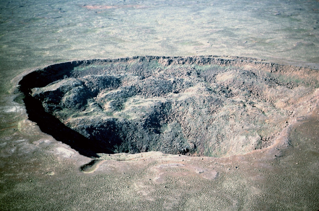
The Holocene Theistareykir fissure system, including the basaltic Theistareykjarbunga shield volcano, extends from north of Myvatn lake to the coast of Iceland. This is the northernmost subaerial volcanic system along the Eastern Volcanic Zone of Iceland. The 30 km3 Theistareykjarbunga shield volcano formed slightly after deglaciation; the youngest dated eruption produced the Theistareykjahraun lava flow about 2,400 years ago.
Resumen de Wikipedia
Þeistareykjarbunga es un volcán en escudo en Islandia situado al noreste de la isla, cerca de la localidad de Húsavík y en la región de Norðurland Eystra. Se encuentra a unos 300 km de la capital Reikiavik.
Wikipedia · CC BY-SA · Leer artículo completo →
Historial de erupciones
3 registradasGlosarioLínea de tiempo detallada
- 900 a. C. (±100 años)VEI 0Estimación geológica900 a. C. – fin desconocidoStorihver (Theistareykjahraun)
- 6800 a. C.VEI 0Estimación geológica6800 a. C. – fin desconocidoBorgarhraun and other flows
- 9500 a. C.VEI 0Estimación geológica9500 a. C. – fin desconocidoTheistareykjabunga shield volcano
Volcanes cercanos
Enlaces externos
⚠ Solo como referencia. No apto para respuesta ante emergencias.