パプアニューギニア · 成層火山
Hydrographers Range
- タイプ
- 成層火山
- 標高
- 1915m
- 最終噴火
- 不明
- タイプ
- 成層火山
- 国
- パプアニューギニア
- 地域
- 南西太平洋 / Trobriand Volcanic Province
- 標高
- 1915m
- 座標
- -9.000, 148.370
- 最終噴火
- 不明
- テクトニクス環境
- 沈み込み帯 / 大陸地殻 (> 25 km)
- 火山地形
- 複成火山
- 主要岩石
- 安山岩 / 玄武岩質安山岩
地質学的概要
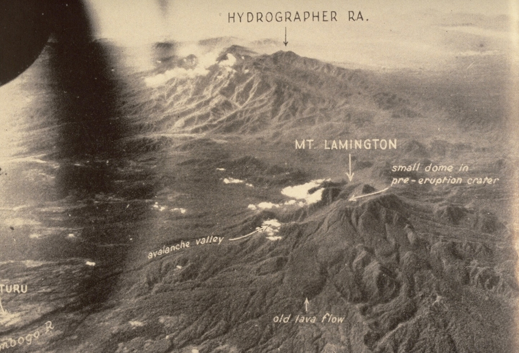
The Hydrographers Range is a forested, deeply dissected andesitic volcanic massif extending from the eastern margin of Mount Lamington north to the coast of eastern Papua New Guinea. Most activity took place during the Pleistocene, but perfectly preserved cinder cones and explosion craters on the southern side of the range suggested that some activity took place during the Holocene (Taylor, 1958). Other well-preserved cones are situated in the high country overlooking Songade village on the coast.
Wikipedia の要約
英語版の要約The Hydrographers Range is a forested mountain range in the Oro Province of southeastern Papua New Guinea. It extends from the eastern margin of Mount Lamington in the west to the Pacific Ocean coast in the east.
Wikipedia · CC BY-SA · 記事全文を読む →
噴火履歴
用語集詳細タイムライン
噴火記録はありません。
近くの火山
外部リンク
⚠ 参考情報です。緊急対応には使用しないでください。