パプアニューギニア · 火山原
Managlase Plateau
- タイプ
- 火山原
- 標高
- 1342m
- 最終噴火
- 不明
- タイプ
- 火山原
- 国
- パプアニューギニア
- 地域
- 南西太平洋 / Trobriand Volcanic Province
- 標高
- 1342m
- 座標
- -9.080, 148.330
- 最終噴火
- 不明
- テクトニクス環境
- 沈み込み帯 / 大陸地殻 (> 25 km)
- 火山地形
- 火山群
- 主要岩石
- 粗面玄武岩 / テフライト・バサナイト
地質学的概要
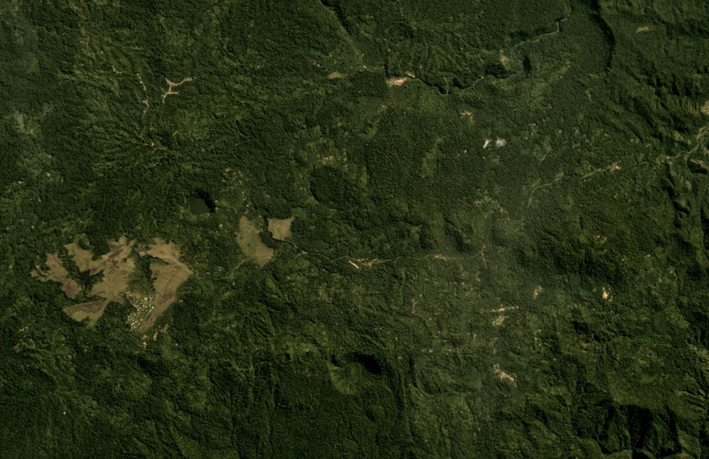
Thirty small volcanic centers of late-Pleistocene to Holocene age are located in SE Papua New Guinea on the Managlase Plateau, south of the Hydrographers Range and SW of the Dyke Ackland Bay. The fault-bounded plateau forms a triangular-shaped area with trachybasaltic lava cones and flows, scoria mounds, cinder cones, and explosion vents of the Uoivi Volcanics, and capped on its eastern side by rhyodacitic ash cones, lava domes, and ashflow deposits of the Manna Volcanics. The date of the most recent eruption is not known, but the trachybasaltic Kururui cinder cone and a nearby explosion crater were active within memory of nearby residents (Ruxton, 1966).
噴火履歴
用語集詳細タイムライン
噴火記録はありません。
近くの火山
外部リンク
- 日本語版Wikipediaには未登録です。Wikidataで作成できます。
- Smithsonian GVP 原典ページ
⚠ 参考情報です。緊急対応には使用しないでください。