インドネシア · 成層火山
Mount Pulosari
Pulosari
- タイプ
- 成層火山
- 標高
- 1324m
- 最終噴火
- 不明
- タイプ
- 成層火山
- 国
- インドネシア
- 地域
- スンダ・バンダ / Sunda Volcanic Arc
- 標高
- 1324m
- 座標
- -6.343, 105.978
- 最終噴火
- 不明
- テクトニクス環境
- 沈み込み帯 / 大陸地殻 (> 25 km)
- 火山地形
- 複成火山
- 主要岩石
- 安山岩 / 玄武岩質安山岩
地質学的概要
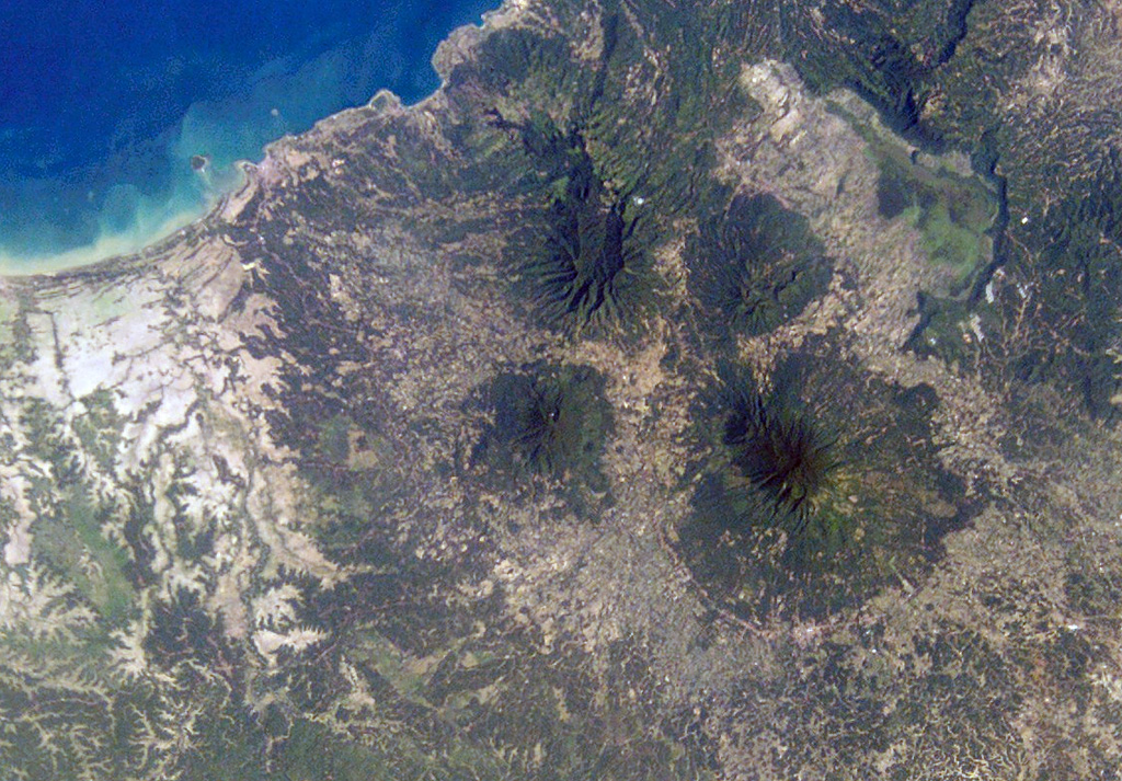
The basaltic-to-andesitic Pulosari stratovolcano at the western end of Java lies south of the 15-km-wide Pleistocene Danau caldera. The summit contains a nearly 300-m-deep crater open to the ENE with active solfataras on its wall. It is SW across a low saddle from the higher Karang volcano, which was constructed on the SE rim of Danau caldera.
Wikipedia の要約
英語版の要約Mount Pulosari is a stratovolcano in Pandeglang Regency, Banten, in West Java Indonesia. There are active solfataras on its 300-metre (980 ft) deep caldera wall.
Wikipedia · CC BY-SA · 記事全文を読む →
噴火履歴
用語集詳細タイムライン
噴火記録はありません。
近くの火山
外部リンク
⚠ 参考情報です。緊急対応には使用しないでください。