インドネシア · 成層火山
Perbakti-Gagak
- タイプ
- 成層火山
- 標高
- 1726m
- 最終噴火
- 1939年
- タイプ
- 成層火山
- 国
- インドネシア
- 地域
- スンダ・バンダ / Sunda Volcanic Arc
- 標高
- 1726m
- 座標
- -6.750, 106.675
- 最終噴火
- 1939年
- テクトニクス環境
- 沈み込み帯 / 大陸地殻 (> 25 km)
- 火山地形
- 複成火山
- 主要岩石
- 安山岩 / 玄武岩質安山岩
地質学的概要
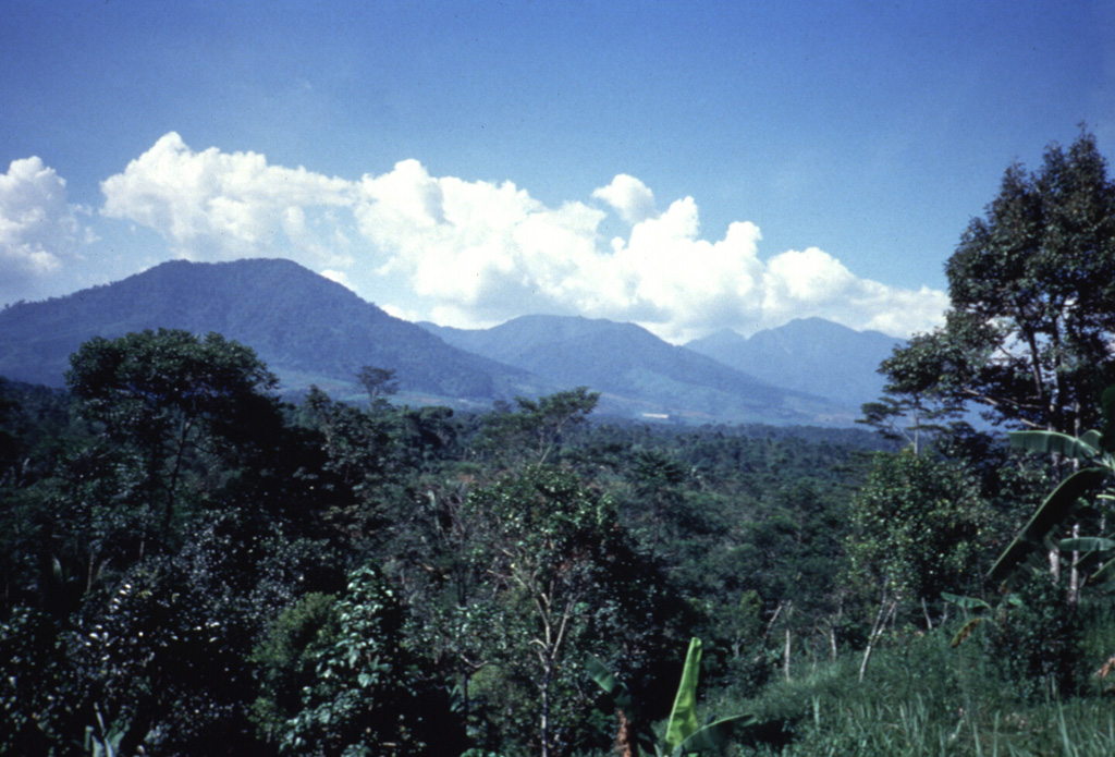
The Perbakti-Gagak volcanic complex, also known as Kiaraberes-Gagak, is a cluster of deeply eroded stratovolcanoes situated immediately SW of Salak volcano. The summit ridge of Gunung Perbakti is elongated in a NW-SE direction, and Gunung Endut volcano rises above a saddle to its SW. Gunung Gagak, to the NW, is capped by pumice and obsidian, with obsidian lava flows extending N and NE. Quaternary rhyolitic lava domes form a NNE-trending chain at the eastern side of the complex. Two 2-km-wide depressions on the northern and southern sides of Perbakti form the headwaters of the Kaluwung Herang and Pamatutan rivers, respectively. The complex is marked by vigorous geothermal activity. Fumaroles, mud pots, and hot springs are located on the S and SE flanks of Perbakti and at the Kiaraberes area, which includes the commercial geothermal field of Awibengkok. Mild phreatic eruptions took place during the Holocene into historical time from flank fumarolic fields.
噴火履歴
7件の記録用語集詳細タイムライン
- 1939年VEI 1観測記録1939-04-06 ~ 終了日不明Kawah Parabakti
- 1938年VEI 1観測記録1938-12-16 ~ 終了日不明Kawah Parabakti
- 1936年VEI 1観測記録1936-10-26 ~ 1936-10-28Cipanas Parabakti
- 1935年VEI 1観測記録1935-05-31 ~ 終了日不明Kawah Cibodas
- 1929年VEI 1観測記録1929-07-02 ~ 終了日不明Cibeureum West
- 1923年VEI 1観測記録1923-06-16 ~ 終了日不明Kawah Cibodas
- 紀元前 6450年VEI ?地質学的推定紀元前 6450 ~ 終了日不明Kiaraberes
近くの火山
外部リンク
- 日本語版Wikipediaには未登録です。Wikidataで作成できます。
- Smithsonian GVP 原典ページ
⚠ 参考情報です。緊急対応には使用しないでください。