中国 · 火山原
Honggeertu volcanic field
Honggeertu
- タイプ
- 火山原
- 標高
- 1605m
- 最終噴火
- 不明
- タイプ
- 火山原
- 国
- 中国
- 地域
- 東アジア / Central East Asia Volcanic Province
- 標高
- 1605m
- 座標
- 41.590, 113.111
- 最終噴火
- 不明
- テクトニクス環境
- プレート内部 / 大陸地殻 (> 25 km)
- 火山地形
- 火山群
- 主要岩石
- 玄武岩 / ピクライト質玄武岩
地質学的概要
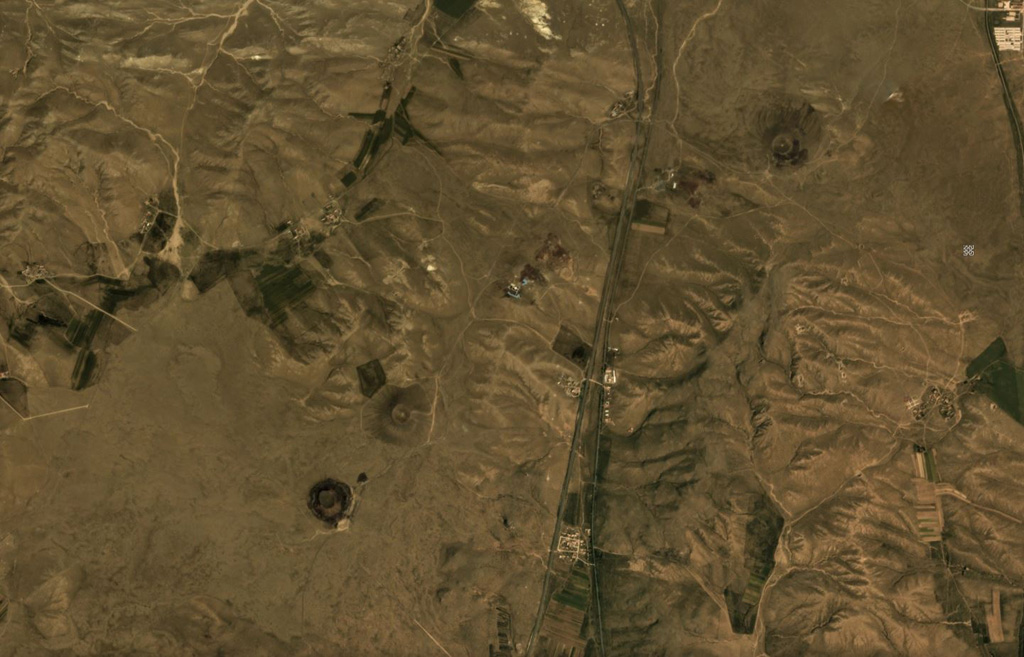
The Honggeertu volcanic field is located in Nei Mongol Province, NW of Beijing. The basaltic volcanic field consists of a group of six cinder cones extending along an arc for about 10 km that were considered to be of Holocene age by IAVCEI (1973). Liu (1998, p.c.), however, considered the existence of Holocene volcanism at this location to be uncertain.
噴火履歴
用語集詳細タイムライン
噴火記録はありません。
近くの火山
外部リンク
⚠ 参考情報です。緊急対応には使用しないでください。