中国 · 火山原
Arshan
Arxan-Chaihe
- タイプ
- 火山原
- 標高
- 1677m
- 最終噴火
- 0年
- タイプ
- 火山原
- 国
- 中国
- 地域
- 東アジア / Central East Asia Volcanic Province
- 標高
- 1677m
- 座標
- 47.450, 120.800
- 最終噴火
- 0年
- テクトニクス環境
- プレート内部 / 大陸地殻 (> 25 km)
- 火山地形
- 火山群
- 主要岩石
- 玄武岩 / ピクライト質玄武岩
地質学的概要
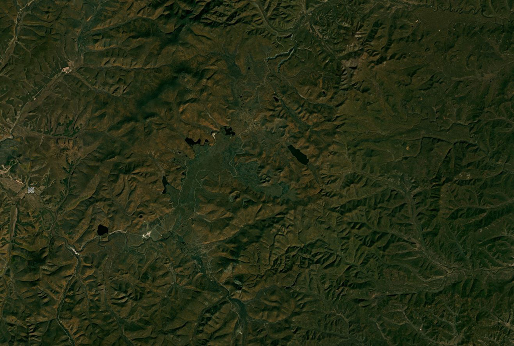
The Arxan-Chaihe Volcanic Field, in the central Da Hinggan Mountains of Inner Mongolia in NE China, contains at least 27 volcanic features. The youngest cones, including Yanshan and Gaoshan, produced basaltic lava flows that blocked drainages of the Halahale River and created six lava-dammed lakes. Radiocarbon dates from scoria deposits document eruptions about 2,000-1,900 years ago. The area has been designated as a National Geopark.
噴火履歴
1件の記録用語集概要 (VEI時系列)
バーをクリックすると個別の噴火が表示されます · 矢印キーで棒を移動、Enterで表示
詳細タイムライン
- 0年 (±150年)VEI ?地質学的推定0 ~ 終了日不明
近くの火山
外部リンク
- 日本語版Wikipediaには未登録です。Wikidataで作成できます。
- Smithsonian GVP 原典ページ
⚠ 参考情報です。緊急対応には使用しないでください。