中国 · 火山原
Keluo
Keluo Group
- タイプ
- 火山原
- 標高
- 670m
- 最終噴火
- 不明
- タイプ
- 火山原
- 国
- 中国
- 地域
- 東アジア / Central East Asia Volcanic Province
- 標高
- 670m
- 座標
- 49.370, 125.920
- 最終噴火
- 不明
- テクトニクス環境
- プレート内部 / 大陸地殻 (> 25 km)
- 火山地形
- 火山群
- 主要岩石
- 粗面玄武岩 / テフライト・バサナイト
地質学的概要
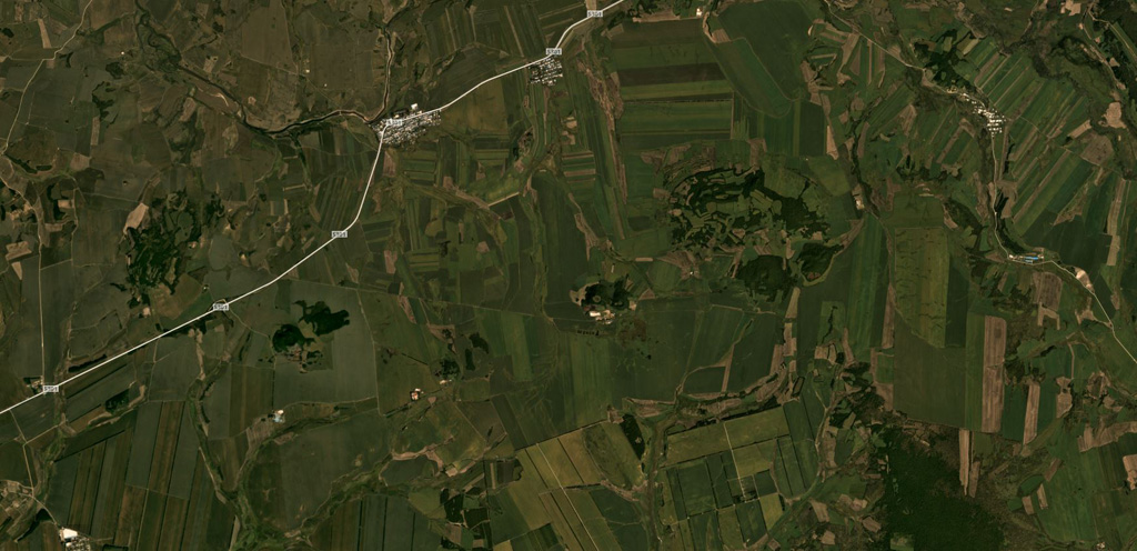
The Keluo volcanic field in NE China is located near the Russian border, S of the Heilongjiang (Black Dragon) River. Like its better known neighbor to the S, the Wudalianchi volcanic field, it contains many high-potassium basaltic cinder cones. Nanshan cone, located at the southern end of the field N of the Keluo River, may be of historical age, based on its youthful appearance, and Gushan may also be Holocene. Other cones to the NE are of Pleistocene to Tertiary. Cinder cones are located at the intersections of regional NE- and NW-trending lineaments, and were erupted through basement volcanic and sedimentary rocks of Jurassic-Cretaceous age, granitic rocks, and pre-Permian metasediments. There are unconfirmed reports of observed activity.
噴火履歴
用語集詳細タイムライン
噴火記録はありません。
近くの火山
外部リンク
⚠ 参考情報です。緊急対応には使用しないでください。