中国 · 火山原
五大連池火山群
Wudalianchi
- タイプ
- 火山原
- 標高
- 597m
- 最終噴火
- 1776年
- タイプ
- 火山原
- 国
- 中国
- 地域
- 東アジア / Central East Asia Volcanic Province
- 標高
- 597m
- 座標
- 48.722, 126.150
- 最終噴火
- 1776年
- テクトニクス環境
- プレート内部 / 大陸地殻 (> 25 km)
- 火山地形
- 火山群
- 主要岩石
- 粗面玄武岩 / テフライト・バサナイト
地質学的概要
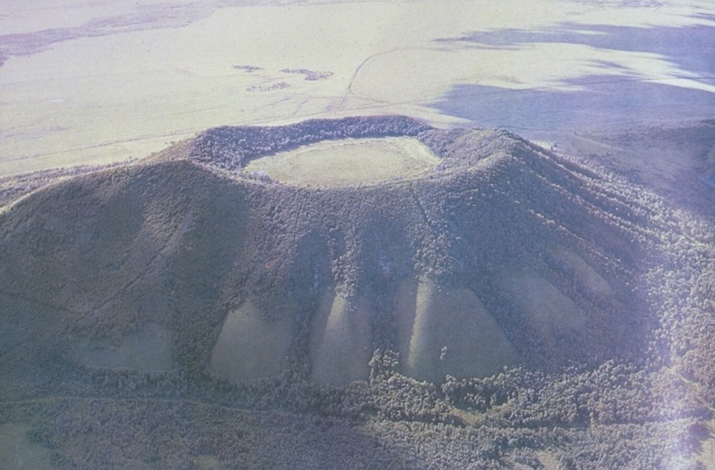
The Wudalianchi volcanic field, named for a string of five scenic lava-dammed lakes, consists of 14 cinder cones capping a 500 km2 shield-like lava plateau in NE China. The volcanic field, whose name means "Five Connected Pools" was formed during five eruptive cycles from the early Pleistocene to historical time. Its ancient name was "Nine Hills," which after the historical eruptions now number 14 hills. The cinder cones were erupted through basement sedimentary and granitic rocks and show a preferred alignment along three chains at the intersection of NE- and NW-trending lineaments. In addition to the historical cinder cones of Laoheishan and Huoshaoshan, Xilongmenshan and Donglongmenshan are Holocene in age. The freshly preserved cones of Laoheishan and Huoshaoshan were formed during eruptions in 1720-21. Fissures at the base of the two new cinder cones fed glassy pahoehoe and aa lava flows that covered 65 km2 and formed the five lakes of Wudalianchi at their eastern and northern margins. Renewed eruptions took place in 1776.
噴火履歴
2件の記録用語集詳細タイムライン
- 1776年VEI 2観測記録1776 ~ 終了日不明Laoheishan
- 1720年VEI 3観測記録1720-01-14 ~ 1721-06Laoheishan and Huoshaoshan
近くの火山
外部リンク
⚠ 参考情報です。緊急対応には使用しないでください。