파푸아뉴기니 · 화산군
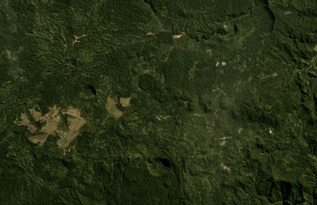
Managlase Plateau
- 화산 유형
- 화산군
- 해발
- 1342m
- 마지막 분화
- 미확인
- 화산 유형
- 화산군
- 국가
- 파푸아뉴기니
- 지역
- 남서태평양 / Trobriand Volcanic Province
- 해발
- 1342m
- 좌표
- -9.080, 148.330
- 마지막 분화
- 미확인
- 판구조 환경
- 섭입대 / 대륙 지각 (> 25 km)
- 화산 지형
- 화산군
- 주요 암석
- 조면현무암 / 테프라이트 바사나이트
지질학적 요약
Thirty small volcanic centers of late-Pleistocene to Holocene age are located in SE Papua New Guinea on the Managlase Plateau, south of the Hydrographers Range and SW of the Dyke Ackland Bay. The fault-bounded plateau forms a triangular-shaped area with trachybasaltic lava cones and flows, scoria mounds, cinder cones, and explosion vents of the Uoivi Volcanics, and capped on its eastern side by rhyodacitic ash cones, lava domes, and ashflow deposits of the Manna Volcanics. The date of the most recent eruption is not known, but the trachybasaltic Kururui cinder cone and a nearby explosion crater were active within memory of nearby residents (Ruxton, 1966).
분화 이력
용어집상세 타임라인
분화 기록이 없습니다.
주변 화산
외부 링크
- 한국어 Wikipedia에 아직 기사가 없습니다. Wikidata에서 작성할 수 있습니다.
- Smithsonian GVP 원본 페이지
⚠ 참고용 정보입니다. 재난 대응에 사용하지 마세요.