파푸아뉴기니 · 성층화산
Victory
- 화산 유형
- 성층화산
- 해발
- 1832m
- 마지막 분화
- 1935년
- 화산 유형
- 성층화산
- 국가
- 파푸아뉴기니
- 지역
- 남서태평양 / Trobriand Volcanic Province
- 해발
- 1832m
- 좌표
- -9.200, 149.072
- 마지막 분화
- 1935년
- 판구조 환경
- 섭입대 / 대륙 지각 (> 25 km)
- 화산 지형
- 복성화산체
- 주요 암석
- 안산암 / 현무암질 안산암
지질학적 요약
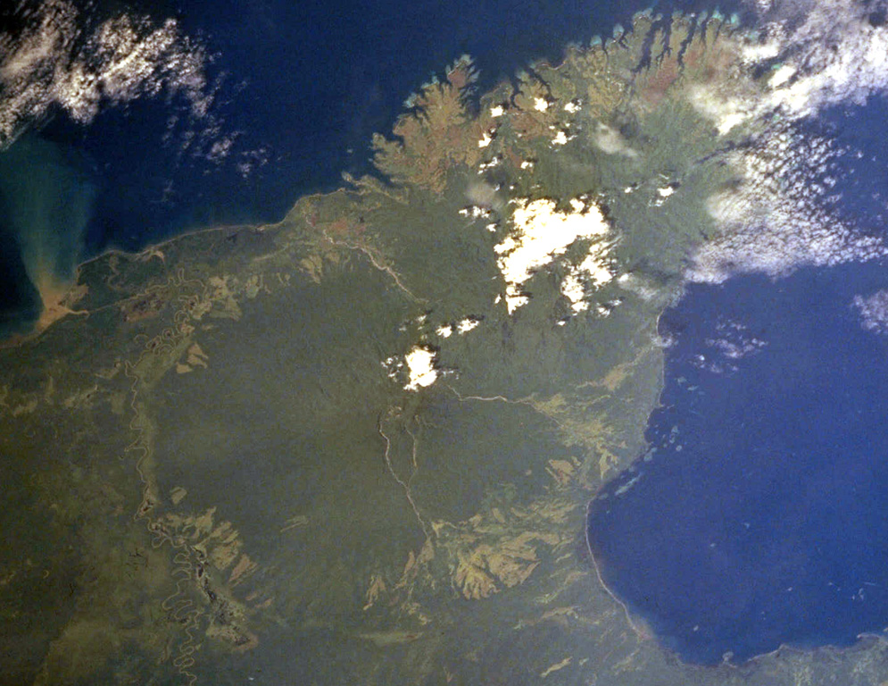
The dominantly andesitic Mount Victory stratovolcano, forming part of Cape Nelson on the NE coast of Papua New Guinea, is covered by rainforest. The deeply dissected Pleistocene Trafalgar volcano is immediately adjacent to the NE. The summit crater is breached to the SE, possibly due to landslides. Several lava domes are present in the summit area. Four small cones are located on the SW side, and two others occur on the NE flank. The only observed activity was a long-term late-19th to early 20th-century eruption that was frequently seen by passing ships. Pyroclastic flows have destroyed several villages and caused fatalities, and reached the coast.
Wikipedia 요약
영어 요약Mount Victory is an active volcano on the north east coast of Oro Province, Papua New Guinea with an approximate height of 1,884 metres (6,181 ft) to 1,891 metres (6,204 ft). It is bounded by the Ajova River.
Wikipedia · CC BY-SA · 전체 기사 보기 →
분화 이력
2건 기록용어집상세 타임라인
- 1890년VEI 2관측 기록1890-07-02 ~ 1935-07-02
- 1810년 (±10년)VEI 2근거 미기재1810-07-02 ~ 종료일 미상
주변 화산
외부 링크
⚠ 참고용 정보입니다. 재난 대응에 사용하지 마세요.